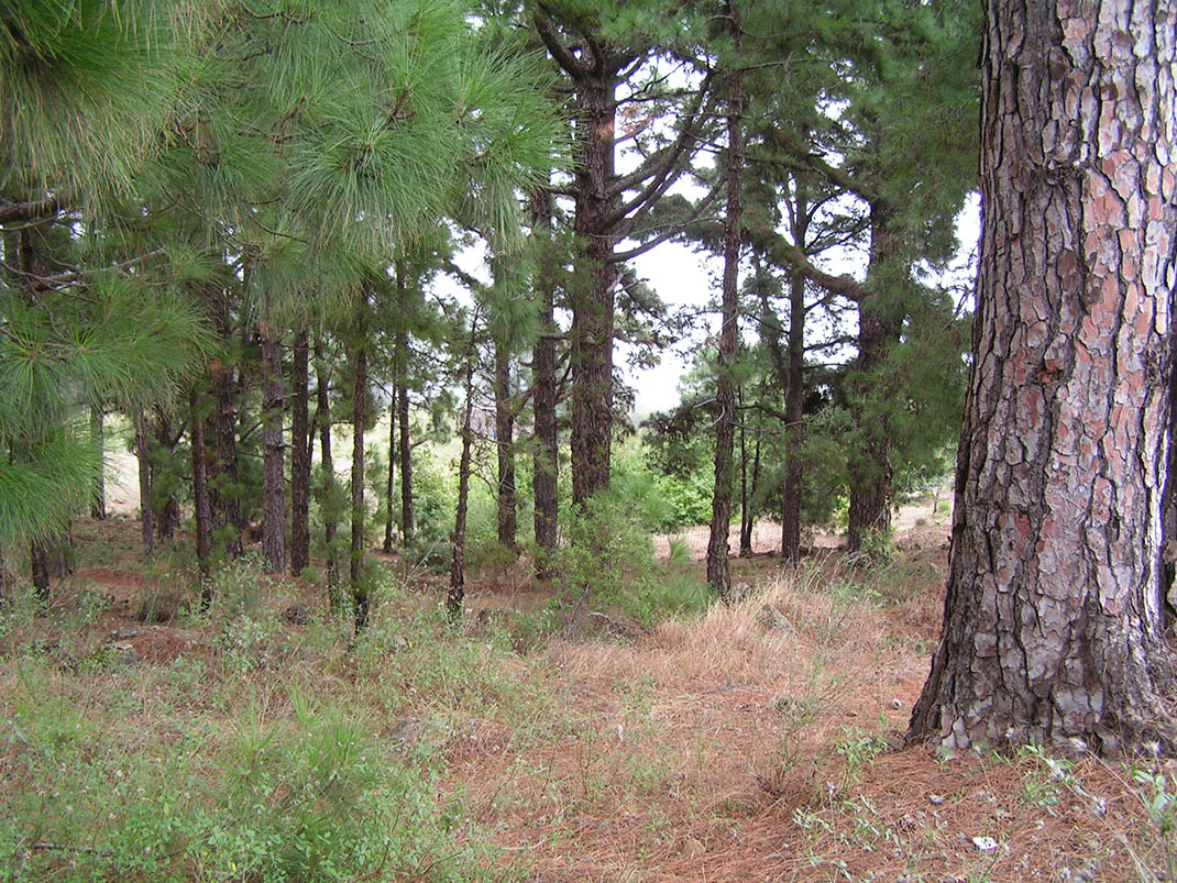
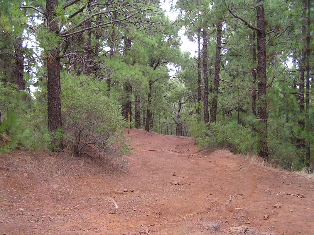
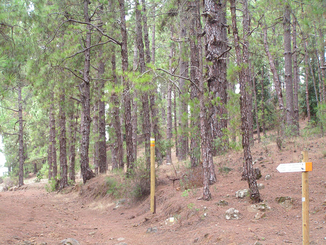
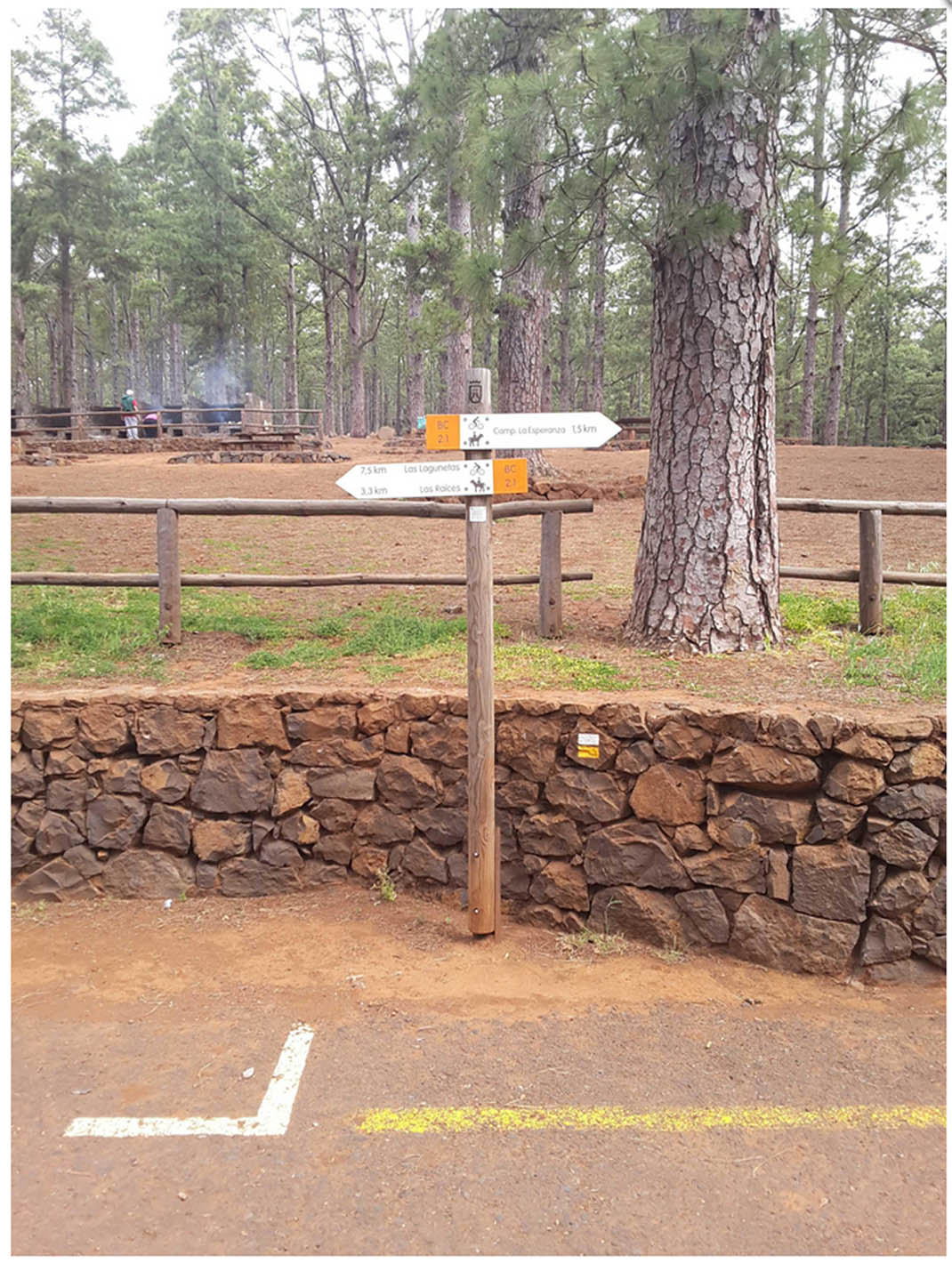
ePrivacy and GPDR Cookie Consent management by TermsFeed Privacy Policy and Consent Generator BC-2.1 La Esperanza Campsite

BC-2.1 La Esperanza Campsite

BC-2.1

Monte de la Esperanza, extension of route B2 to the La Esperanza youth campsite.

La Esperanza campsite

Description

A thriving Canary Island pine forest creates the backdrop for this route from the Las Raíces Recreational Area to the La Esperanza Campsite. 

After a devastating fire destroyed this site in 1995, reforestation with pine and faya (Morella faya) has restored the ecological balance of this natural environment and its role in recharging the island’s underground aquifer.

All along the route, which crosses through many ravines, you will be able to admire the grandeur of many veteran pine trees, and a rich variety of shrubs, such as escobones (Chamaecytisus proliferus), codesos (Adenocarpus viscosus), and crestagallos (Isoplexis canariensis). 

If you keep an eye out, you will also be able to see Eurasian sparrowhawks, woodpeckers and blue chaffinches flitting among the branches. 

IBP Index: 2.

Tips

  • Always stay on the marked trail and do not enter private property, hunting grounds, water galleries, wells or caves.  
  • Be careful when walking along roads used by motor vehicles and hiking trails, and when crossing ravines with water courses.
  • Avoid direct encounters with potentially dangerous animals, such as livestock, beehives, and dogs. 
  • Proceed with caution and watch for obstacles, loose rocks, uneven terrain or steep slopes to avoid accidents and falls. 
  • Consult our good practice guide and, if necessary, contact emergency services by calling 112.
Recommendations and tips

Guides

No data available

Permits

  • Reservation obligatory for groups organised by for-profit and not-for-profit public and private entities and profit-making individuals. Link
  • T: 901 501 901 - 922 239 500.
  • Free access for all other users, alone or in a group, no reservation required.

Technical information sheet

Route information

Cycling and horse riding route

Tenerife ON

Linear

3,59 km

0 h 20 m

77,74 m

237,36 m

At an average speed of 14 km/h

  • Altitude gain:77,74 m

  • Altitude loss:237,36 m

  • Maximum altitude:1.104,83 m

  • Minimum altitude:933,55 m

Signage

Route code

BC-2.1

Orange posts and signs that include:

  • Official trail number.
  • Route direction.
  • Distance to points of interest.
  • Cyclist and horserider icons.
Signage

Route map and profile

Elevation profile

  • Maximum altitude:1.104,83 m

  • Minimum altitude:933,55 m

Connections with other routes

How to get to route start point

Route B 2, Los Ovejeros trail, intersection with the Los Gramillos trail, Las Raíces, El Rosario (close to the Las Raíces camping area).

Bus stop 800 m from the starting point (privately run route between La Laguna and La Esperanza, Transportes La Esperanza: 922 548 080).

Limited parking spaces in the Las Raíces Camping Area.

How to get to route end point

La Esperanza youth campsite, Carretera Escuela Hogar (TF-274), km 1, La Esperanza, El Rosario.

Bus stop 700 m from the end point (privately run route between La Laguna and La Esperanza, Transportes La Esperanza: 922 548 080).

Limited parking spaces in the La Esperanza youth campsite.

Municipalities passed through

  • El Rosario

Protected Areas

Transit

Paisaje Protegido de Las Lagunetas

The Las Lagunetas Protected Landscape is situated on the north side of the Pedro Gil ridge, in the north-east of Tenerife.  This ridge was formed over the course of numerous phases of eruption less ...

Discover the Protected Area
Paisaje Protegido de Las Lagunetas

Weather

Today, friday, in El Rosario


Clouds
Wind

7 km/h

Temperature

15ºC Maximum

12ºC Minimum

Rain

0%

3 day forecast

saturday

14ºC Maximum

12ºC Minimum

sunday

14ºC Maximum

11ºC Minimum

monday

14ºC Maximum

11ºC Minimum