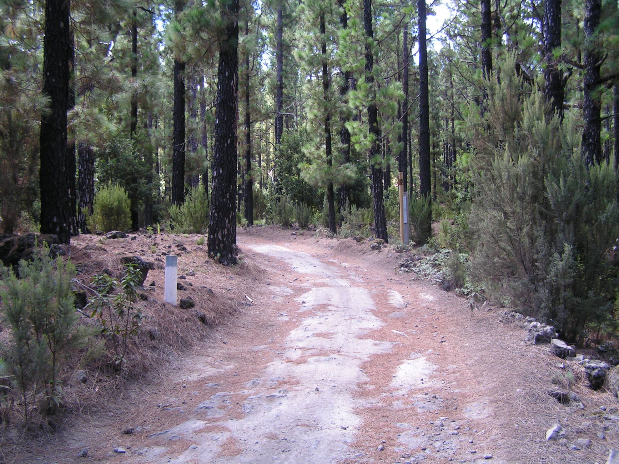
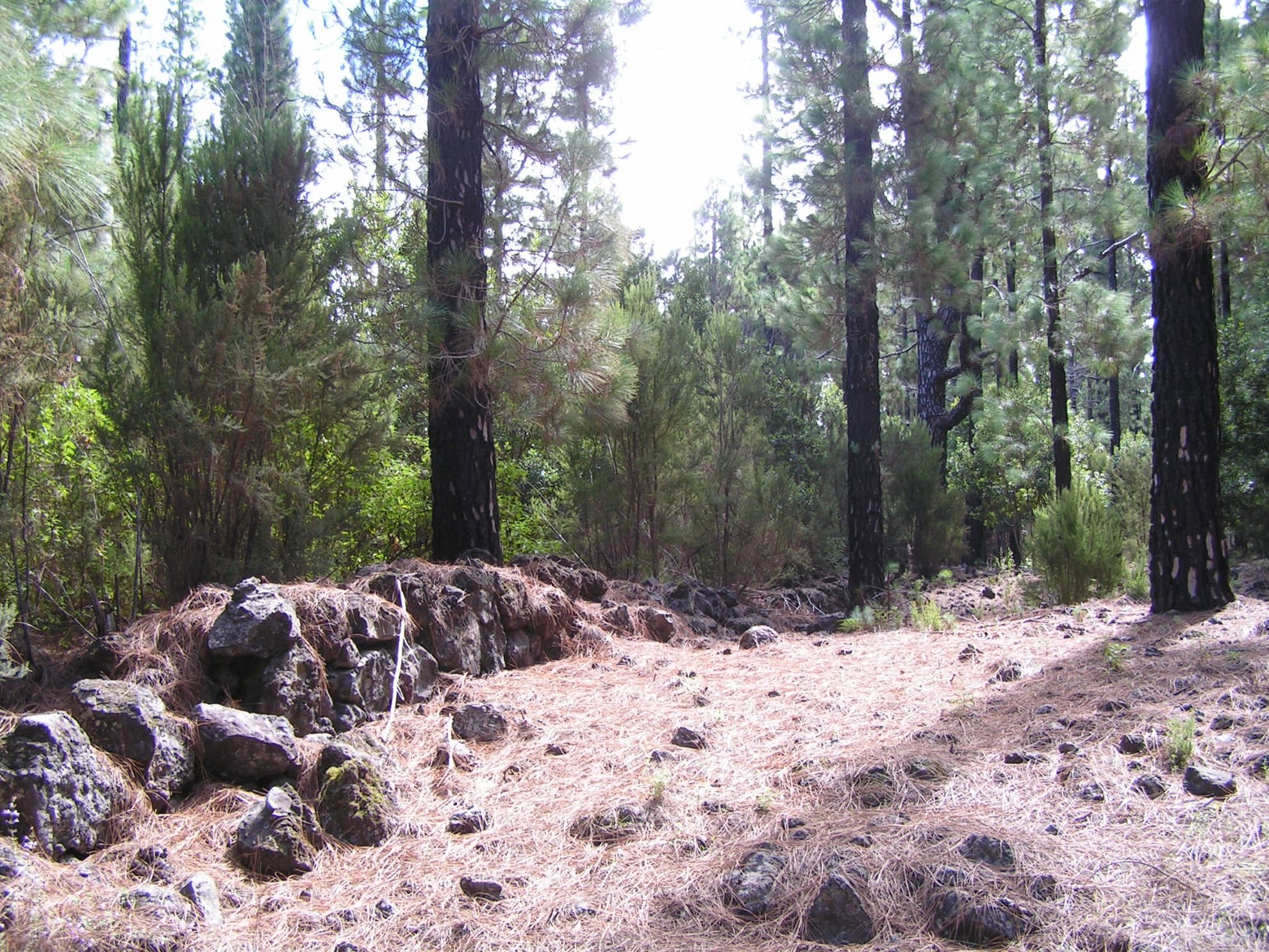
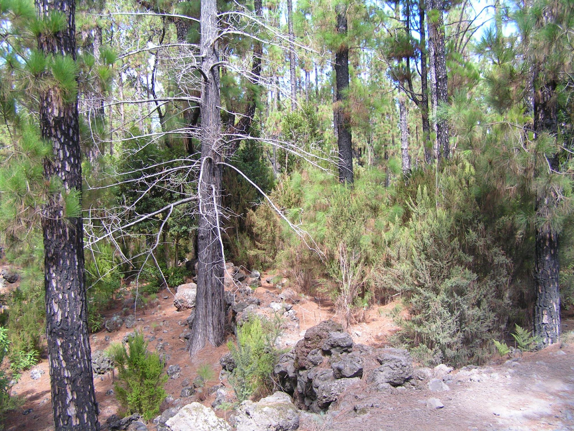
ePrivacy and GPDR Cookie Consent management by TermsFeed Privacy Policy and Consent Generator VM 19.2. Spur trail to Las Abiertas.

VM 19.2. Spur trail to Las Abiertas.

VM-19.2

Description

Short section of just 500 m long linking forest track VM 19 (Pista Fuente Santa) with Las Abiertas, a small neighbourhood in Icod de los Vinos.

Tips

  • Always stay on the marked trail observing all traffic rules established in the regulations. 
  • When parking, keep away from water intakes or firefighting water storage tanks, and do not block the passage of other vehicles or access to the track.
  • Be extra careful both at junctions with paths and tracks and on sections shared by walkers, horse riders and cyclists. 
  • Proceed with care to avoid accidents that may be caused by obstacles, landslides and uneven terrain. 
  • Check our guide to motor vehicle routes and, if necessary, contact the emergency services by calling 112.
Recommendations and tips

Guides

No data available

Permits

Prior authorisation through the Reservation Centre of the Tenerife Island Council is compulsory for the following vehicles:

  • Trials, enduro and motocross bikes.
  • ATVs and quads with a handlebar steering system.
  • Off-road vehicles with tyres of 10 to 15mm tread depth.
  • Power-assisted pedal cycles with a power output of more than 0.5 kW, to supplement the muscle power of the rider.
  • Caravan of up to six motor vehicles in motion with a maximum distance of 30 metres separating them.

Check the Regulations for information on prohibited vehicles.

No reservations are required for other vehicles, provided that they meet the recreational use requirements for this network of trails.

More information

Technical information sheet

Route information

Motor vehicle route

Tenerife ON

Linear

0,41 km

0 h 10 m

5,87 m

16,75 m

At an average speed of 15 km/h

  • Altitude gain:5,87 m

  • Altitude loss:16,75 m

  • Maximum altitude:1.100,58 m

  • Minimum altitude:1.086,46 m

Signage

Route code

VM-19.2

Tracks for motor vehicles are marked with blue signs and posts that include:

  • Direction.
  • Route number.
  • Distance to end point.
Signage

Route map and profile

Elevation profile

  • Maximum altitude:1.100,58 m

  • Minimum altitude:1.086,46 m

Connections with other routes

Municipalities passed through

  • Garachico
  • Icod de los Vinos

Protected Areas

Transit

Parque Natural de la Corona Forestal

The Corona Forestal is the largest protected natural area in the Canary Islands, one of the most extensive forests on the islands, the lungs of Tenerife and the gateway to Mount Teide.  As its name ...

Discover the Protected Area
Parque Natural de Corona Forestal

Weather

Today, monday, in Icod de los Vinos


Clear skies
Wind

5 km/h

Temperature

17ºC Maximum

12ºC Minimum

Rain

0%

3 day forecast

tuesday

17ºC Maximum

11ºC Minimum

wednesday

19ºC Maximum

13ºC Minimum

thursday

18ºC Maximum

13ºC Minimum