ePrivacy and GPDR Cookie Consent management by TermsFeed Privacy Policy and Consent Generator VM 19.1 Spur trail to Redondo (Las Hayas).

VM 19.1 Spur trail to Redondo (Las Hayas).

VM-19.1

Description

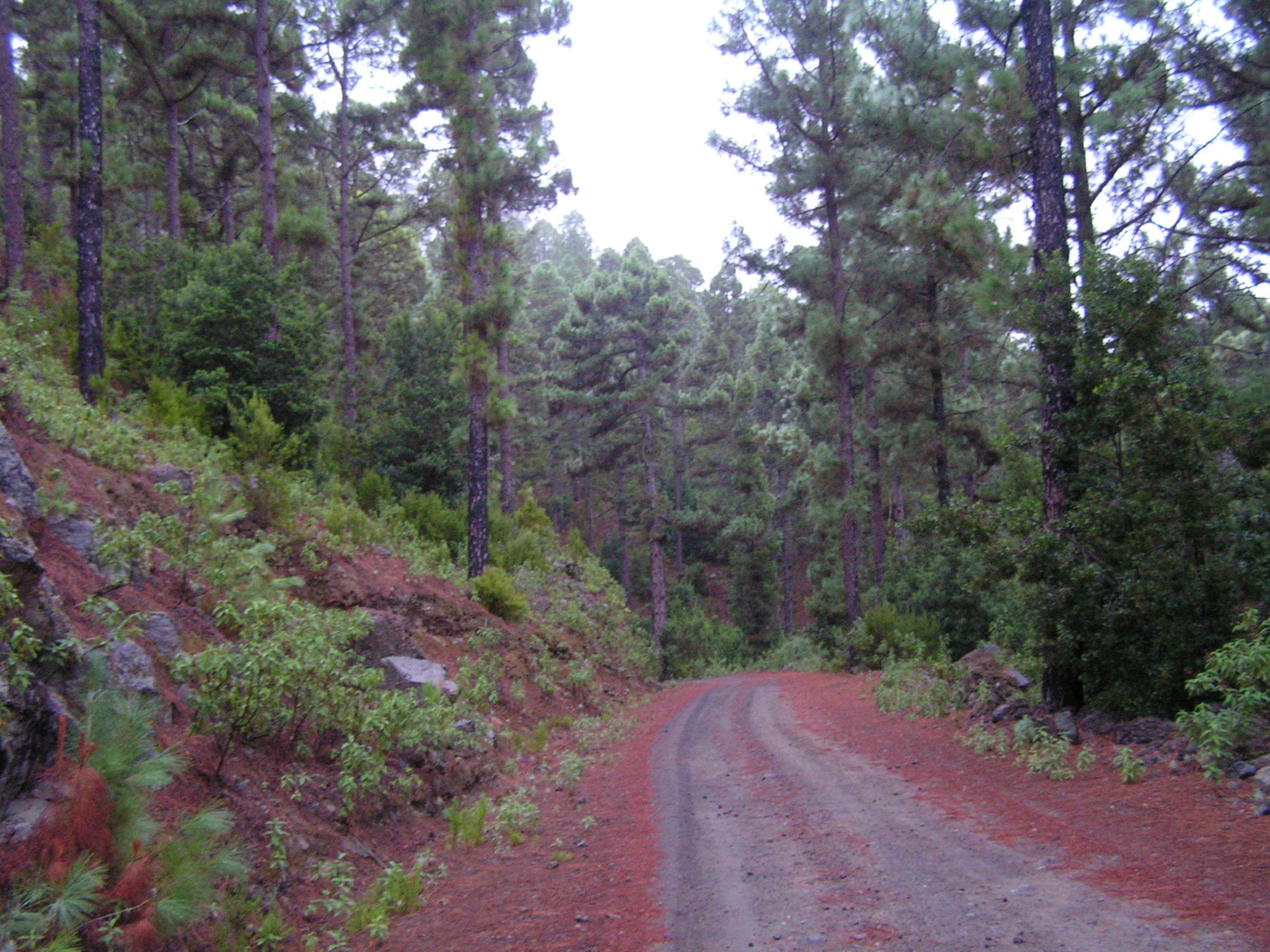
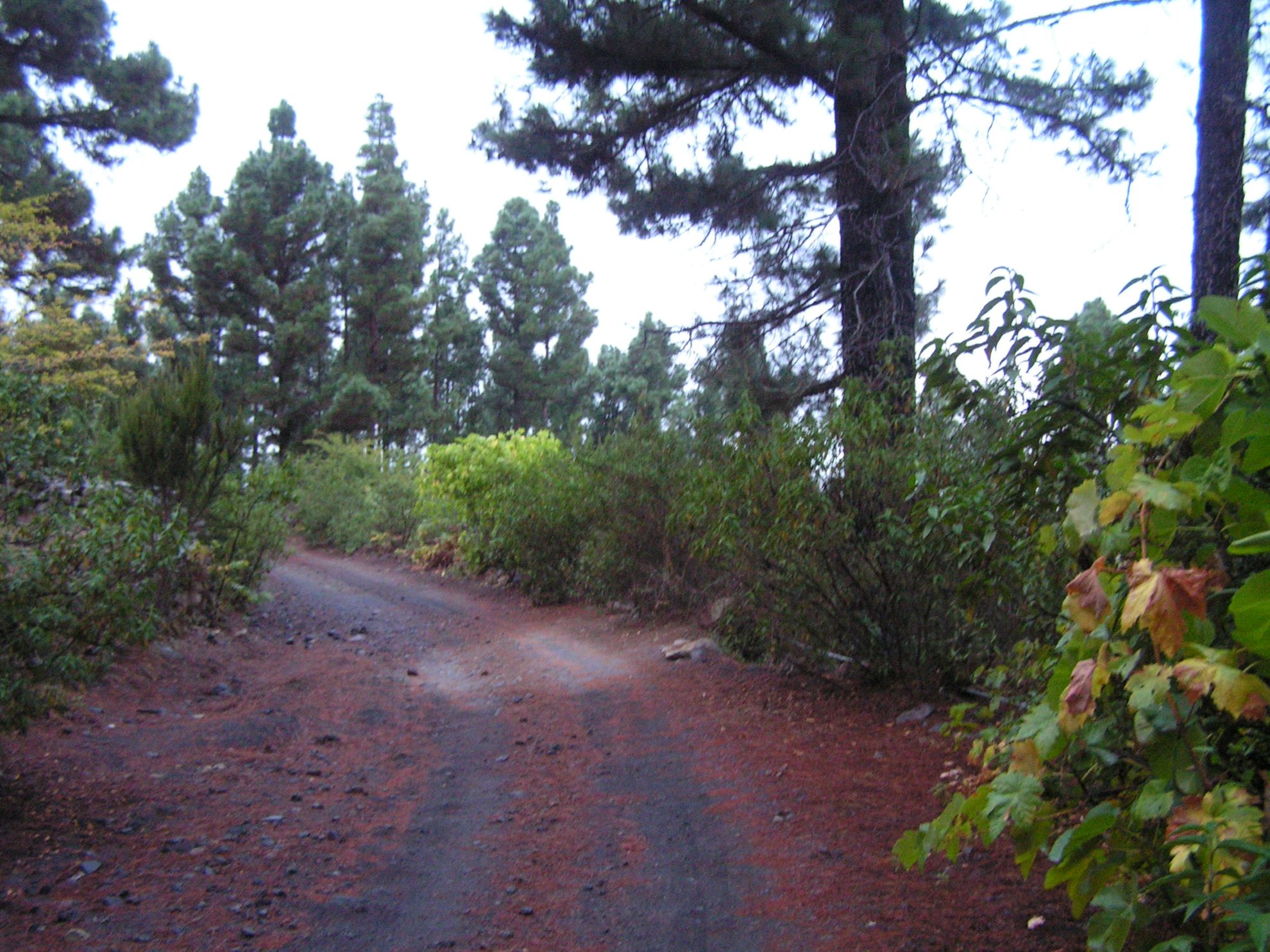
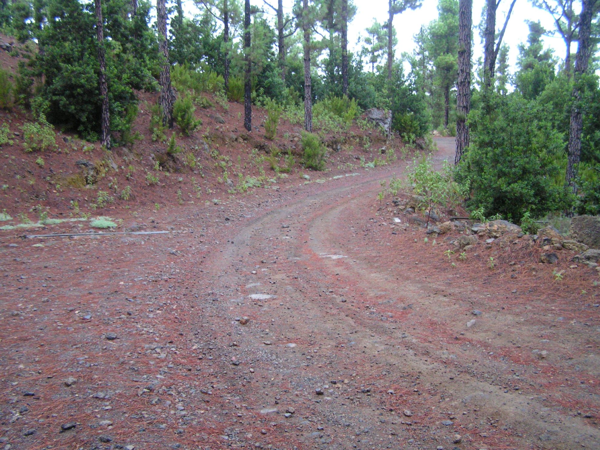
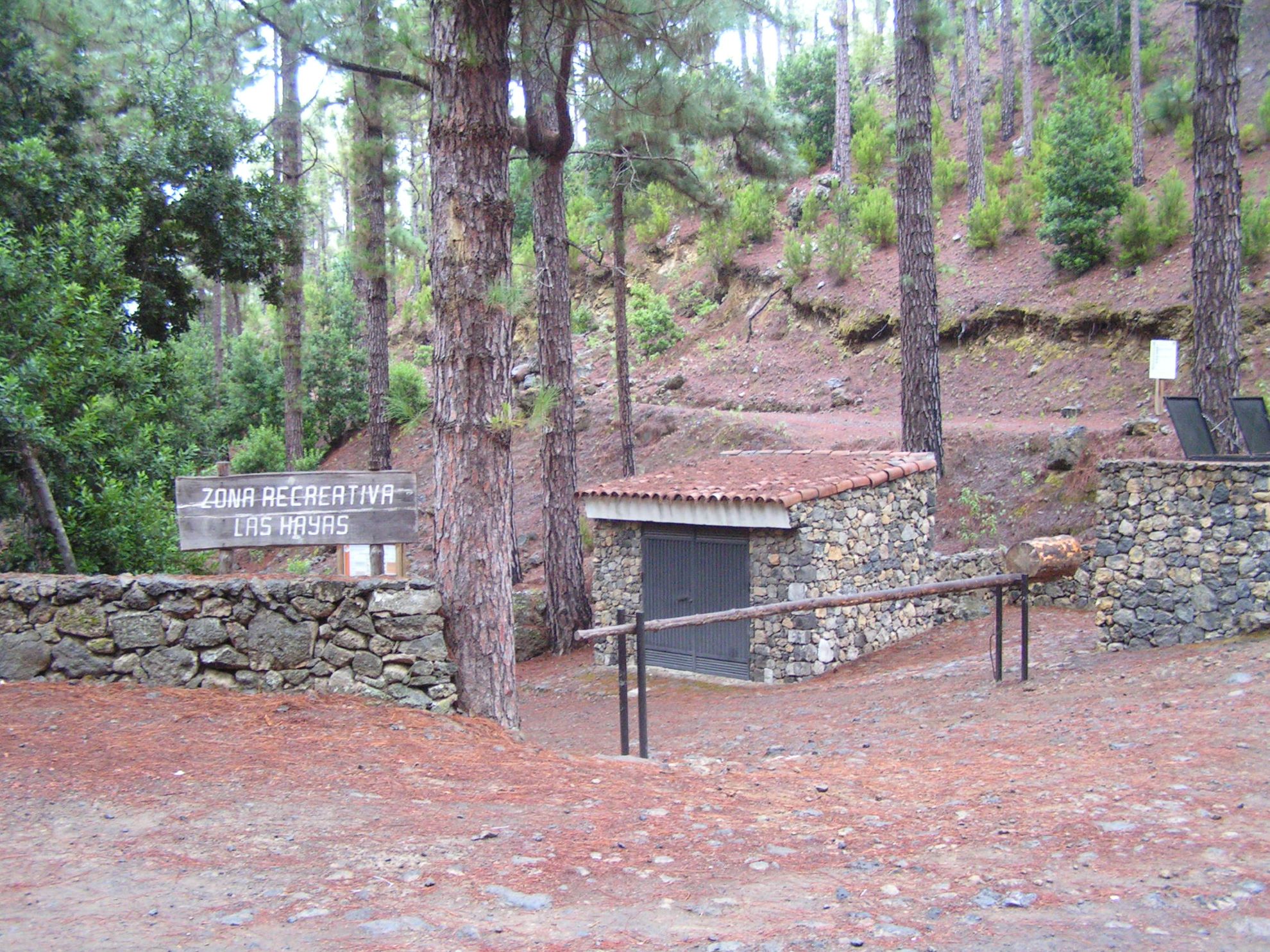
A 2.5-km section that connects Pista Fuente Santa with the village of Redondo, passing through Las Hayas Recreational Area.

To take this route, turn off from the main track onto Pista de Las Hayas.

The track will take you across the upper reaches of Icod de los Vinos through the pine forest typical of the north of Tenerife until it connects with “Camino de la Peña de Redondo”, which ends in the village of Redondo.

Tips

  • Always stay on the marked trail observing all traffic rules established in the regulations. 
  • When parking, keep away from water intakes or firefighting water storage tanks, and do not block the passage of other vehicles or access to the track.
  • Be extra careful both at junctions with paths and tracks and on sections shared by walkers, horse riders and cyclists. 
  • Proceed with care to avoid accidents that may be caused by obstacles, landslides and uneven terrain. 
  • Check our guide to motor vehicle routes and, if necessary, contact the emergency services by calling 112.
Recommendations and tips

Guides

No data available

Permits

Prior authorisation through the Reservation Centre of the Tenerife Island Council is compulsory for the following vehicles:

  • Trials, enduro and motocross bikes.
  • ATVs and quads with a handlebar steering system.
  • Off-road vehicles with tyres of 10 to 15mm tread depth.
  • Power-assisted pedal cycles with a power output of more than 0.5 kW, to supplement the muscle power of the rider.
  • Caravan of up to six motor vehicles in motion with a maximum distance of 30 metres separating them.

Check the Regulations for information on prohibited vehicles.

No reservations are required for other vehicles, provided that they meet the recreational use requirements for this network of trails.

More information

Technical information sheet

Route information

Motor vehicle route

Tenerife ON

Linear

2,51 km

0 h 25 m

45,07 m

167,08 m

At an average speed of 15 km/h

  • Altitude gain:45,07 m

  • Altitude loss:167,08 m

  • Maximum altitude:1.060,19 m

  • Minimum altitude:938,19 m

Signage

Route code

VM-19.1

Tracks for motor vehicles are marked with blue signs and posts that include:

  • Direction.
  • Route number.
  • Distance to end point.
Signage

Route map and profile

Elevation profile

  • Maximum altitude:1.060,19 m

  • Minimum altitude:938,19 m

Connections with other routes

Municipalities passed through

  • Icod de los Vinos

Weather

Today, monday, in Icod de los Vinos


Clear skies
Wind

3 km/h

Temperature

19ºC Maximum

11ºC Minimum

Rain

0%

3 day forecast

tuesday

17ºC Maximum

11ºC Minimum

wednesday

18ºC Maximum

14ºC Minimum

thursday

19ºC Maximum

14ºC Minimum