ePrivacy and GPDR Cookie Consent management by TermsFeed Privacy Policy and Consent Generator La Ensillada - Cabezo de Tejo - La Ensillada (Reserva Natural Integral El Pijaral)

La Ensillada - Cabezo de Tejo - La Ensillada (Reserva Natural Integral El Pijaral)

Macizo de Anaga

PRA 72 La Ensillada - Cabezo del Tejo

Difficulty: Medium

Description

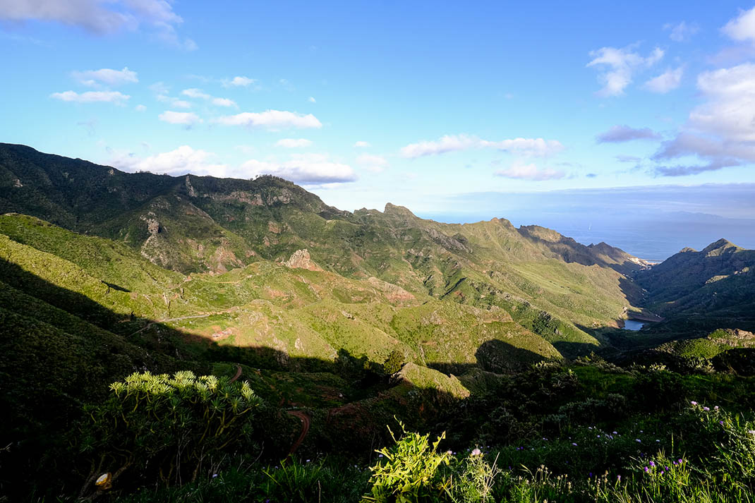
This medium-difficulty trail, measuring just over 6 kilometres, starts at the La Ensillada car park and takes in the CabezodelTejo viewpoint, which offers views of part of the village of Taganana and the north coast of the Anaga Massif.

To walk this trail, you must book in advance as only 45 permits are issued each day, as established by the regulations of this Strict Nature Reserve, an area of significant ecological vulnerability.

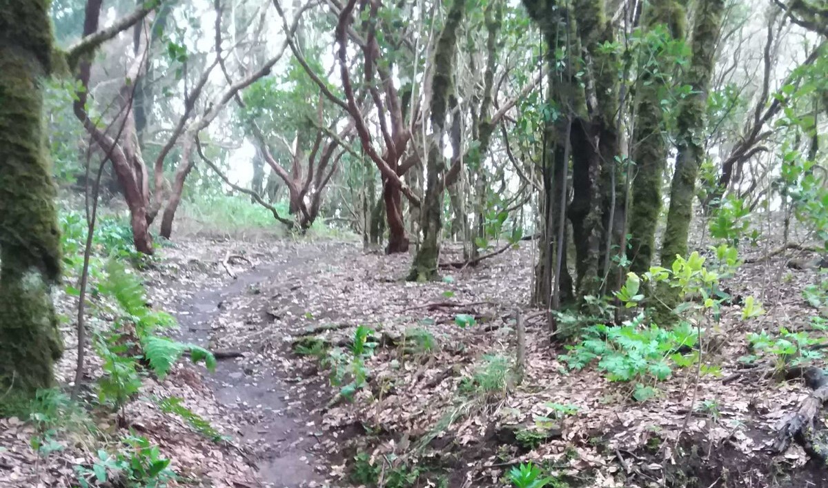
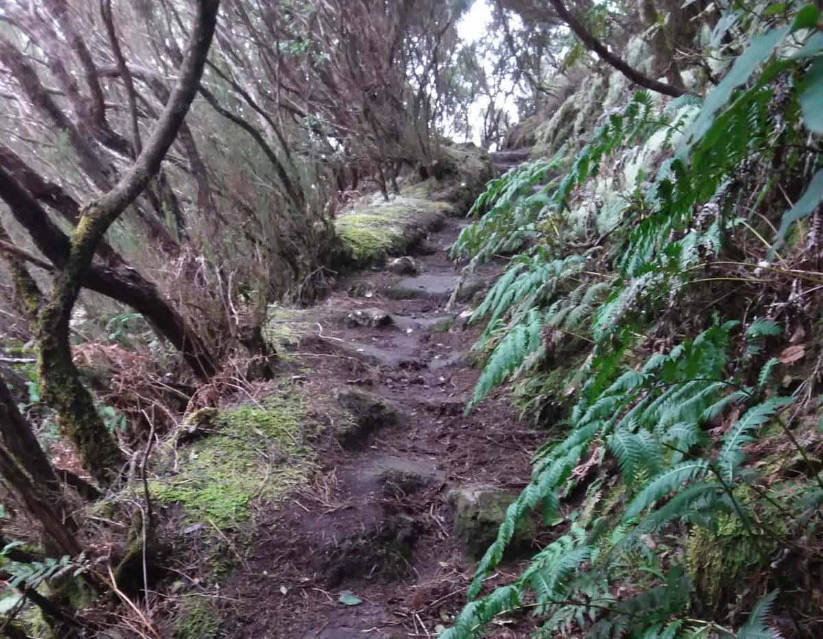
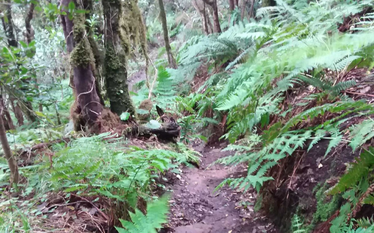
Alternatively, you can also visit other representative areas of this unique and spectacular ecosystem without a permit. These include the Forest of the Enigmas trail and the Pista de Las Hiedras trail, where nature lovers can also explore and immerse themselves in the laurel forest of Anaga, a living remnant of a relict ecosystem from the Tertiary period, which once spread across much of the European and African sides of the Mediterranean Basin.

Tips

  • Always stay on the marked trail and do not enter private property, hunting grounds, water galleries, wells or caves.
  • Pay special attention when crossing or walking along trails used by bicycles, horses or motor vehicles and when walking in ravines with water courses.
  • Avoid direct encounters with potentially dangerous animals, such as livestock, beehives, and dogs.
  • Proceed with caution and watch for obstacles, loose rocks, uneven terrain or steep slopes to avoid accidents and falls.
  • Check out our guide to hiking in Tenerife and, if necessary, contact the emergency services by calling 112.


Recommendations and tips

Permits

  • No access for natural or legal entities of a public or private, for-profit or not-for-profit nature, and for natural persons working for profit. 
  • Reservations are compulsory for all other visitors.
More information

Technical information sheet

Route information

Walking route

Tenerife ON

Circular

6,44 km

2 h 30 m

574,05 m

574,05 m

One way with fitness level 3/5

  • Altitude gain:574,05 m

  • Altitude loss:574,05 m

  • Maximum altitude:895,69 m

  • Minimum altitude:757,54 m

Signage

Wooden signs with the name, code and direction of the route.

Signage

Route map and profile

Elevation profile

Difficulty

Medium *MIDE safe mountain criteria

  • Maximum altitude:895,69 m

  • Minimum altitude:757,54 m

Connections with other routes

How to get to route start point

Carretera El Bailadero (TF-123), km 4.9.

Bus number 947, La Ensillada bus stop code 1487. TITSA

Parking spaces in the area.

How to get to route end point

Carretera El Bailadero (TF-123), km 4.9.

Bus number 947, La Ensillada bus stop code 1487. TITSA

Parking spaces in the area.

Municipalities passed through

  • Santa Cruz de Tenerife

Protected Areas

Transit

Reserva Natural Integral de Pijaral

El Pijaral is one of the best examples of Canarian Laurel forest in Tenerife.  The verticality of the terrain and the lack of human interaction has allowed this forest to remain in a very good ...

Discover the Protected Area
Reserva Natural Integral de Pijaral

Transit

Parque Rural de Anaga

The Anaga Rural Park, which occupies 7% of the island and is part of the Anaga Biosphere Reserve, was one of the first landmasses to emerge from the seabed when the island of Tenerife began to ...

Discover the Protected Area
Parque Rural de Anaga

Weather

Today, saturday, in Santa Cruz de Tenerife


Clouds
Wind

7 km/h

Temperature

20ºC Maximum

17ºC Minimum

Rain

108%

3 day forecast

sunday

19ºC Maximum

18ºC Minimum

monday

19ºC Maximum

18ºC Minimum

tuesday

19ºC Maximum

18ºC Minimum