ePrivacy and GPDR Cookie Consent management by TermsFeed Privacy Policy and Consent Generator Pista de Las Hiedras

Pista de Las Hiedras

Macizo de Anaga

Pista de las Hiedras

Difficulty: Low

Description

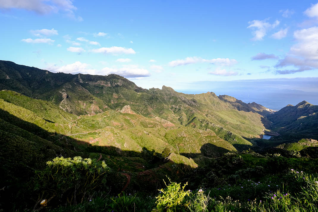
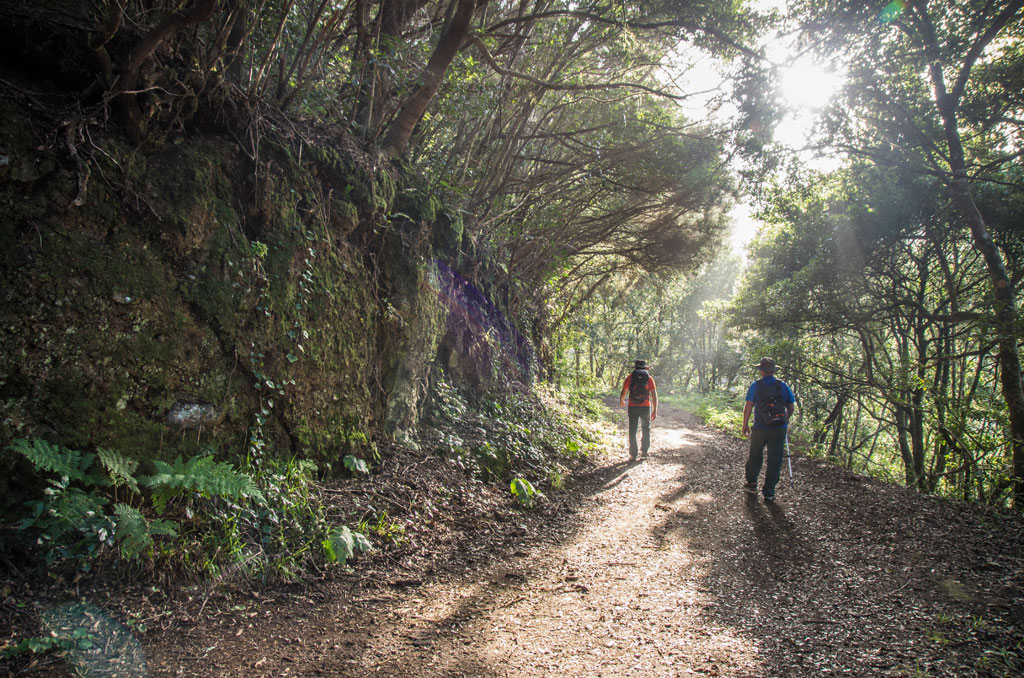
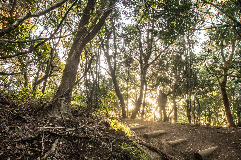
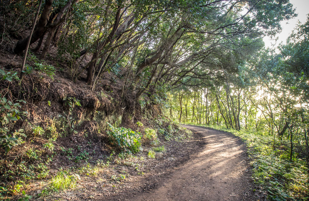
This route runs along a flat forest track that has very little elevation change and is surrounded by laurel forest and fayal-brezal (Morella-Erica heath).

You will also notice that the hillside is covered with abundant rock vegetation, consisting mainly of mosses, lichens and Aeoniums (“bejeques”), succulent plants with a curious rosette shape.

A few minutes’ walk along the path you will find a spring, which has now become a stone fountain.

Bear in mind that there are several turnoffs from this track. If you want to follow the indicated route, do not take either the path that heads uphill next to the fountain or the turning some 400 metres further on to the left, which descends to El Batán, or the path that descends from the forestry house 200 metres further on.

To continue along this route, keep straight on without leaving the Hiedras track at any point. Along the way you will come across a cave shelter dug into the rock before reaching the small hamlet of El Río, the end of the trail. 

Tips

  • Always stay on the marked trail and do not enter private property, hunting grounds, water galleries, wells or caves.
  • Pay special attention when crossing or walking along trails used by bicycles, horses or motor vehicles and when walking in ravines with water courses.
  • Avoid direct encounters with potentially dangerous animals, such as livestock, beehives, and dogs.
  • Proceed with caution and watch for obstacles, loose rocks, uneven terrain or steep slopes to avoid accidents and falls.
  • Check out our guide to hiking in Tenerife and, if necessary, contact the emergency services by calling 112.
Recommendations and tips

Permits

Free access for all visitors, no reservation required.

More information

Technical information sheet

Route information

Walking route

Tenerife ON

Linear

4,44 km

1 h 30 m

189,83 m

198,60 m

One way with fitness level 3/5

  • Altitude gain:189,83 m

  • Altitude loss:198,60 m

  • Maximum altitude:857,96 m

  • Minimum altitude:819,93 m

Signage

Wooden signs with the name and direction of the route.

Signage

Route map and profile

Elevation profile

Difficulty

Low *MIDE safe mountain criteria

  • Maximum altitude:857,96 m

  • Minimum altitude:819,93 m

Connections with other routes

How to get to route start point

Cruce del Moquinal, Camino de El Batán (TF-143), km 0,4.

Bus number 274, Cruce El Moquinal bus stop code 2211. TITSA

There is parking space for people with reduced mobility.

How to get to route end point

Casas del Río, Carretera (TF-145), km 1,2.

Bus number 275, El Río bus stop code 2237. TITSA

No parking spaces in the area.

Municipalities passed through

  • La Laguna

Rules

Partial revision of the Anaga Rural Park master plan for use and management.

Protected Areas

Transit

Parque Rural de Anaga

The Anaga Rural Park, which occupies 7% of the island and is part of the Anaga Biosphere Reserve, was one of the first landmasses to emerge from the seabed when the island of Tenerife began to ...

Discover the Protected Area
Parque Rural de Anaga

Weather

Today, friday, in San Cristóbal de la Laguna


Clouds
Wind

8 km/h

Temperature

18ºC Maximum

16ºC Minimum

Rain

87%

3 day forecast

saturday

20ºC Maximum

16ºC Minimum

sunday

21ºC Maximum

18ºC Minimum

monday

21ºC Maximum

18ºC Minimum