ePrivacy and GPDR Cookie Consent management by TermsFeed Privacy Policy and Consent Generator PR TF 83.1 Las Vegas - Los Escurriales

PR TF 83.1 Las Vegas - Los Escurriales

PR-TF 83.1

Comarca Chasna - Isora

Las Vegas-Los Escurriales

Difficulty: High

Description

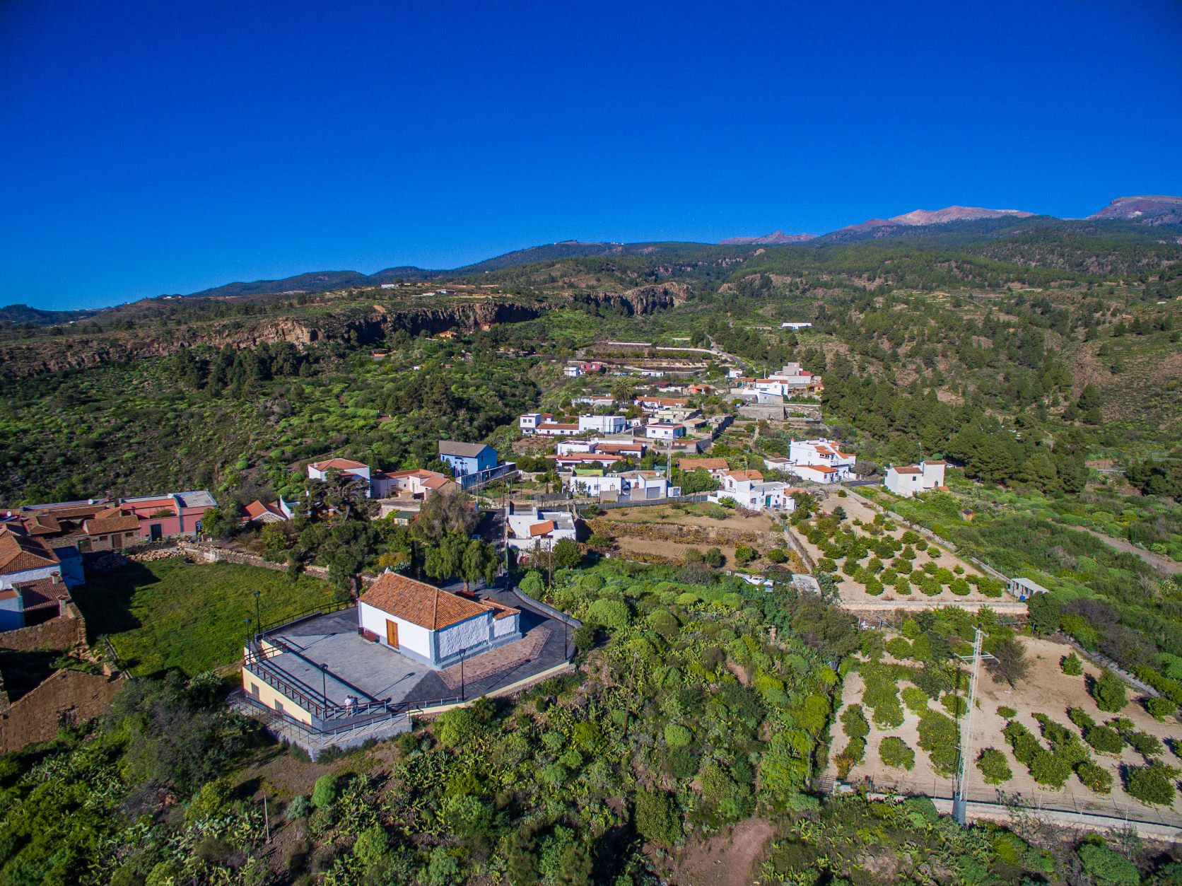
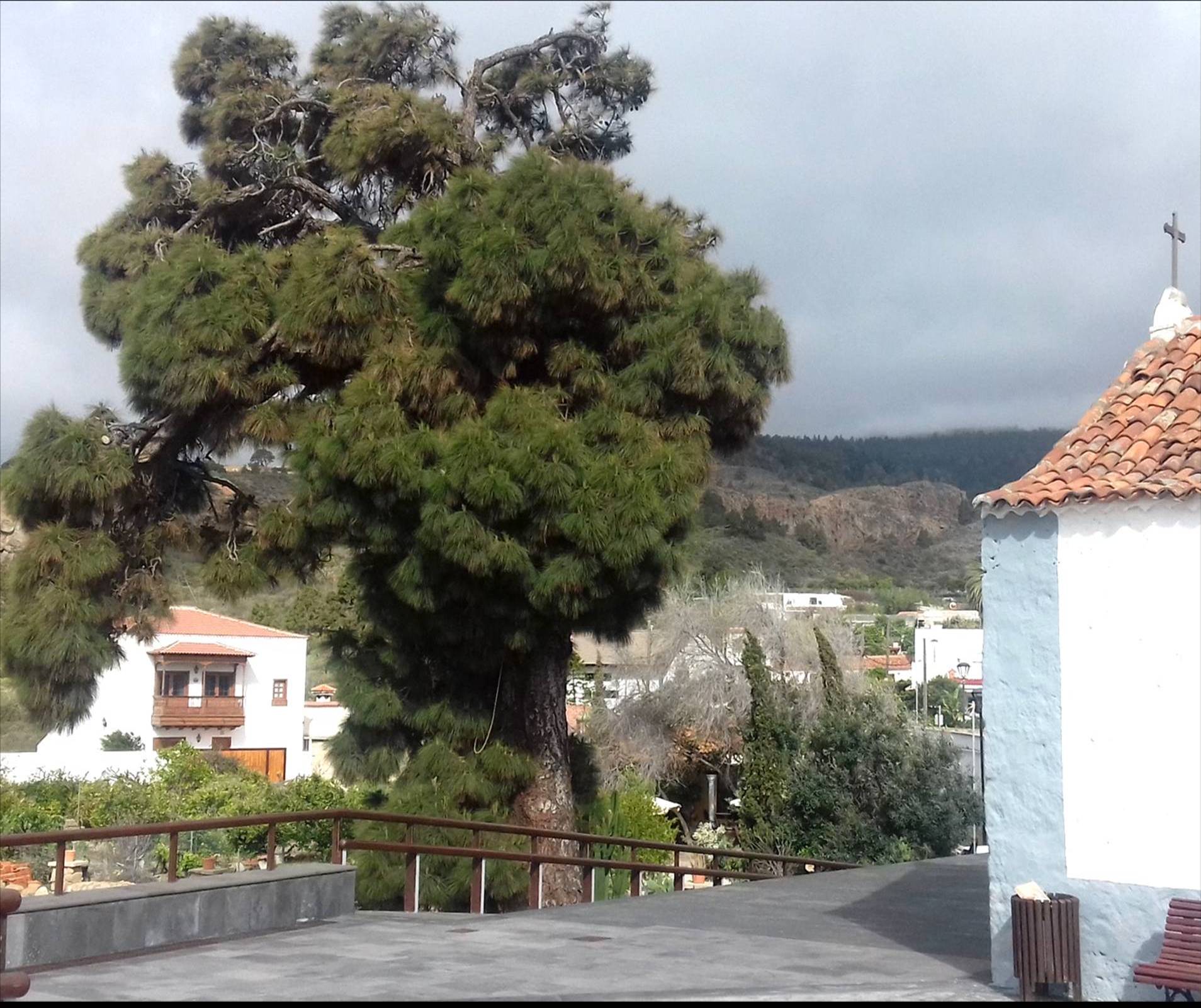
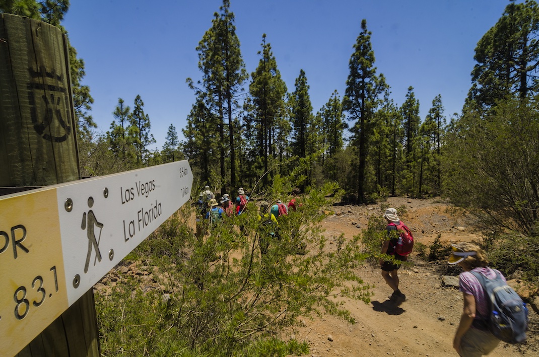
This trail sets off from Las Vegas, the first place to be settled by the Spanish in the municipality of Granadilla de Abona. It was founded at the beginning of the 16th century around the church of Nuestra Señora de la Esperanza.

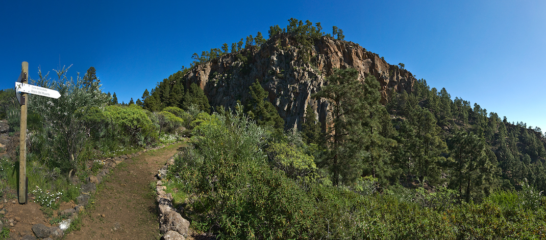
From the church, head north-west along the Camino de Guajara, the first section of which is asphalted. Leave Camino del Bujero to the right and head up Cañada La Pasada on the left until you reach the imposing rock face of Risco El Muerto. 

From here, continue the ascent in a westerly direction towards El Sombrío and La Abejera, then take the old Camino de Los Cardos. 

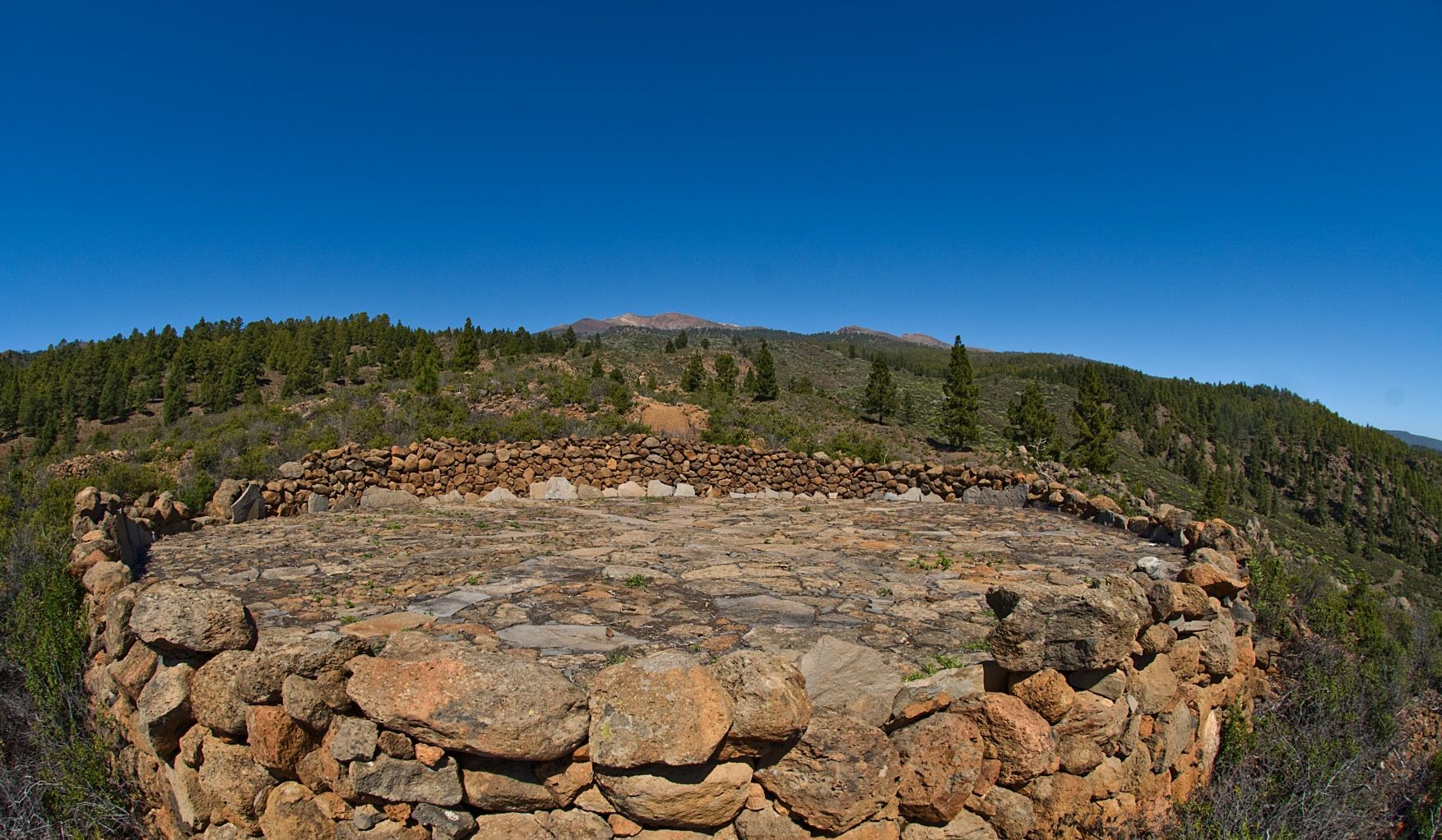
When you reach the Madre del Agua forest track that leads to Barranco del Río, cross it to connect with the PR-TF 83 trail, which in turn continues to the Los Escurriales viewpoint. 

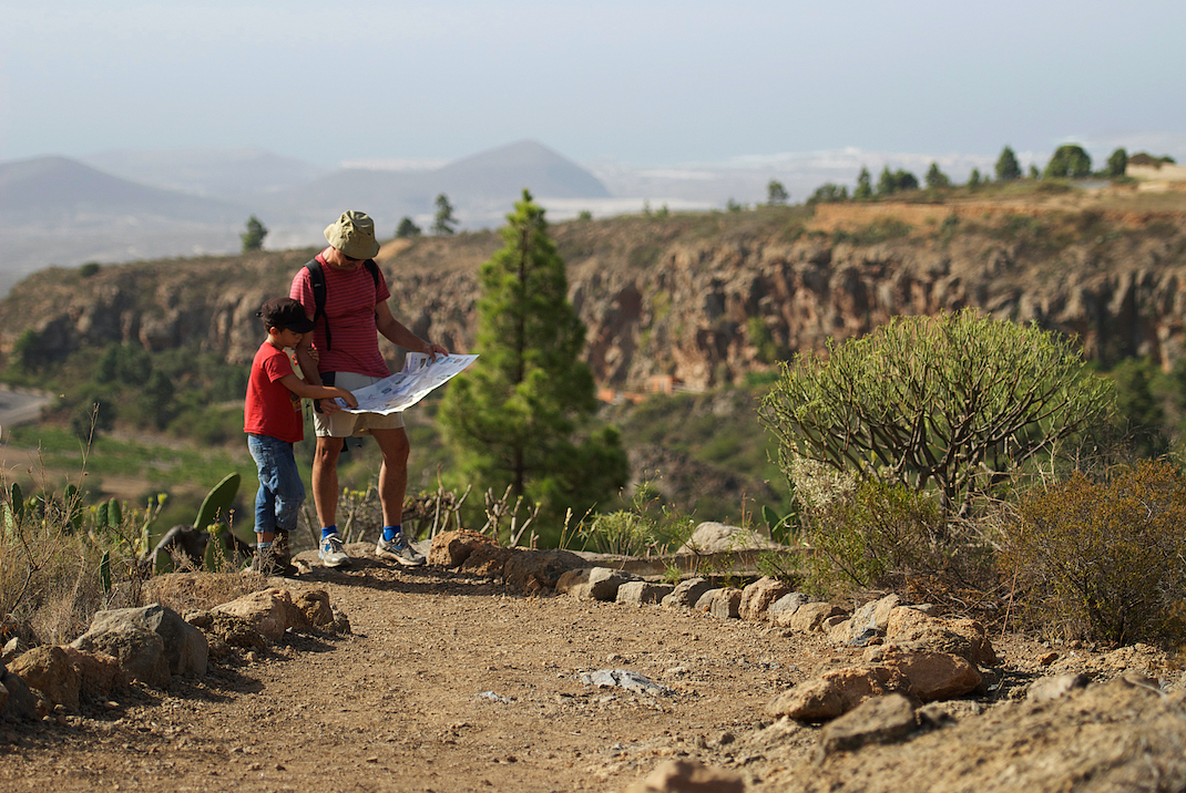
When planning for this route, bear in mind that this trail climbs steadily upwards and involves a significant elevation gain. Also, remember to make plans for your return journey, as the end point of the route is only accessible on foot.

Tips

  • Always stay on the marked trail and do not enter private property, hunting grounds, water galleries, wells or caves.  
  • Pay special attention when crossing or walking along trails used by bicycles, horses or motor vehicles and when walking in ravines with water courses.
  • Avoid direct encounters with potentially dangerous animals, such as livestock, beehives, and dogs.
  • Proceed with caution and watch for obstacles, loose rocks, uneven terrain or steep slopes to avoid accidents and falls.
  • Check out our guide to hiking in Tenerife and, if necessary, contact the emergency services by calling 112.


Recommendations and tips

Guides

No data available

Permits

  • [TEMPORARY MEASURE] Free access without authorisation or reservation for natural or legal entities of a public or private nature, both non-profit (town councils, schools, associations, clubs, etc.) and for-profit (active tourism companies), until 31 December 2024 as established in the Resolution.
  • Free access for all other visitors, no reservation required.
  • Email for enquiries - This email address is being protected from spambots. You need JavaScript enabled to view it.
More information

Technical information sheet

Route information

Walking route

Tenerife ON

Linear

8,62 km

4 h 50 m

1.158,27 m

123,22 m

One way with fitness level 3/5

  • Altitude gain:1.158,27 m

  • Altitude loss:123,22 m

  • Maximum altitude:1.684,98 m

  • Minimum altitude:648,43 m

Signage

Route code

PR-TF 83.1

Posts and signs displaying the PR code and yellow and white marks.

Signage

Route map and profile

Elevation profile

Difficulty

High *MIDE safe mountain criteria

  • Maximum altitude:1.684,98 m

  • Minimum altitude:648,43 m

Connections with other routes

How to get to route start point

Plaza Nuestra Señora de La Esperanza, Calle Santa Ana, Las Vegas, Granadilla de Abona.

No service in the surrounding area.

Limited parking spaces in the village.

How to get to route end point

Los Escurriales (Pista Madre del Agua), desde el sendero PR TF 83 (Altos de Granadilla)

End point only accessible on foot, connecting with the PR-TF 83 footpath.

End point only accessible on foot, connecting with the PR-TF 83 footpath.

Municipalities passed through

  • Granadilla de Abona

Protected Areas

Transit

Parque Natural de la Corona Forestal

The Corona Forestal is the largest protected natural area in the Canary Islands, one of the most extensive forests on the islands, the lungs of Tenerife and the gateway to Mount Teide.  As its name ...

Discover the Protected Area
Parque Natural de Corona Forestal

Weather

Today, monday, in Granadilla de Abona


Clouds
Wind

5 km/h

Temperature

18ºC Maximum

13ºC Minimum

Rain

0%

3 day forecast

tuesday

18ºC Maximum

13ºC Minimum

wednesday

19ºC Maximum

14ºC Minimum

thursday

19ºC Maximum

14ºC Minimum

Places of interest

These are some of the points of interest you can find along this route.

Corral_Abejera_Era
Threshing Floor

Threshing Floor, Corral de la Abejera

Threshing floor in a very good state of preservation.

...
Pino_Campanario
Monumental tree

Pino del Campanario (“Bell Tower Pine”)

This is the site of the bell of the Santa Ana chapel. The locals are proud to say that this is...

Las_Vegas
Hamlet

Las Vegas

The centre of Las Vegas is currently in a good state of conservation, and is one of the few...