ePrivacy and GPDR Cookie Consent management by TermsFeed Privacy Policy and Consent Generator PR TF 83.2 Camino de La Corredera

PR TF 83.2 Camino de La Corredera

PR-TF 83.2

Comarca Chasna - Isora

Camino de La Corredera

Difficulty: Low

Description

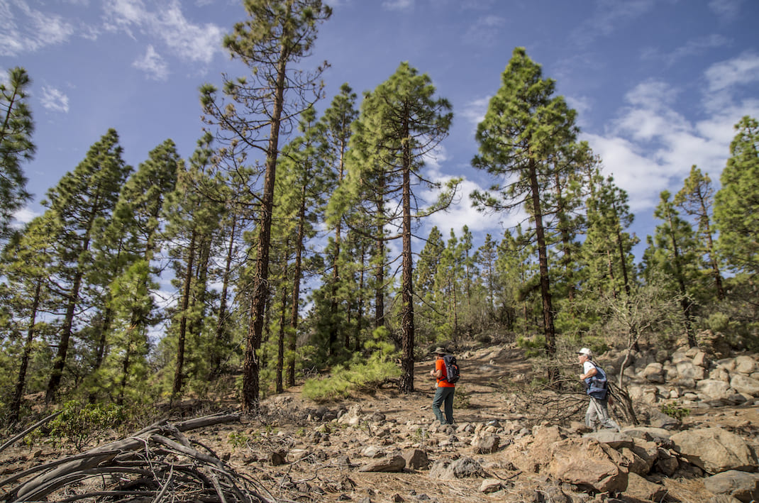
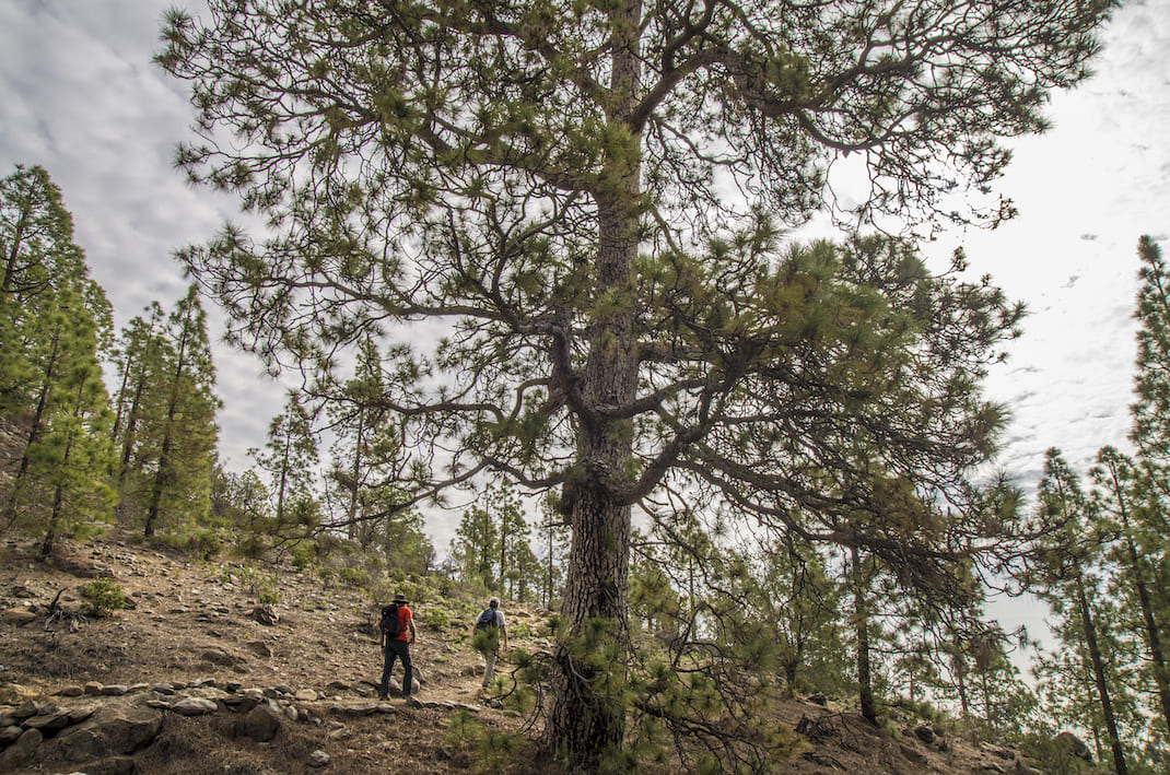
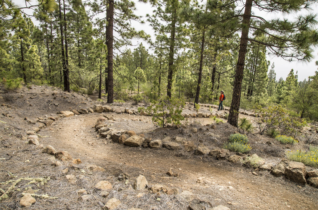
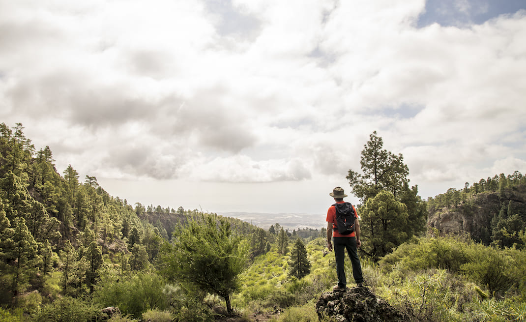
This short trail runs along the old Camino La Corredera to connect the villages of Las Vegas and Cruz de Tea. 

This is a variant of just 1.5 km that links the PR TF 83 along Camino Real Madre del Agua, with the PR TF 83.1 along Camino de Los Cardos, connecting both villages in the upper reaches of the municipality of Guía de Isora. This route expands the combinations and options for the trail network in this part of the island.

Tips

  • Always stay on the marked trail and do not enter private property, hunting grounds, water galleries, wells or caves. 
  • Pay special attention when crossing or walking along trails used by bicycles, horses or motor vehicles and when walking in ravines with water courses.
  • Avoid direct encounters with potentially dangerous animals, such as livestock, beehives, and dogs.
  • Proceed with caution and watch for obstacles, loose rocks, uneven terrain or steep slopes to avoid accidents and falls.
  • Check out our guide to hiking in Tenerife and, if necessary, contact the emergency services by calling 112.


Recommendations and tips

Guides

No data available

Permits

  • [TEMPORARY MEASURE] Free access without authorisation or reservation for natural or legal entities of a public or private nature, both non-profit (town councils, schools, associations, clubs, etc.) and for-profit (active tourism companies), until 31 December 2024 as established in the Resolution.
  • Free access for all other visitors, no reservation required.
  • Email for enquiries - This email address is being protected from spambots. You need JavaScript enabled to view it.
More information

Technical information sheet

Route information

Walking route

Tenerife ON

Linear

1,77 km

0 h 35 m

153,56 m

110,33 m

  • Altitude gain:153,56 m

  • Altitude loss:110,33 m

  • Maximum altitude:1.394,27 m

  • Minimum altitude:1.334,31 m

Signage

Route code

PR-TF 83.2

Posts and signs displaying the PR code and yellow and white marks.

Signage

Route map and profile

Elevation profile

Difficulty

Low *MIDE safe mountain criteria

  • Maximum altitude:1.394,27 m

  • Minimum altitude:1.334,31 m

Connections with other routes

How to get to route start point

PR-TF 83 (Camino Real Madre del Agua)

Trailhead only accessible on foot from the PR-TF 83 trail.

Trailhead only accessible on foot from the PR-TF 83 trail.

How to get to route end point

PR-TF 83.1 (Camino Los Cardos)

End point only accessible on foot from the PR-TF 83.1 trail.

End point only accessible on foot from the PR-TF 83.1 trail.

Municipalities passed through

  • Granadilla de Abona

Protected Areas

Transit

Parque Natural de la Corona Forestal

The Corona Forestal is the largest protected natural area in the Canary Islands, one of the most extensive forests on the islands, the lungs of Tenerife and the gateway to Mount Teide.  As its name ...

Discover the Protected Area
Parque Natural de Corona Forestal

Weather

Today, monday, in Granadilla de Abona


Clouds
Wind

5 km/h

Temperature

18ºC Maximum

13ºC Minimum

Rain

0%

3 day forecast

tuesday

18ºC Maximum

13ºC Minimum

wednesday

19ºC Maximum

14ºC Minimum

thursday

19ºC Maximum

14ºC Minimum