ePrivacy and GPDR Cookie Consent management by TermsFeed Privacy Policy and Consent Generator “Viñátigos Centenarios” Trail

“Viñátigos Centenarios” Trail

Agua García

Difficulty: Low

Description

The name of this trail alludes to the immense ancient viñatigo trees (Persea indica) that stand guard over this delightful walk. 

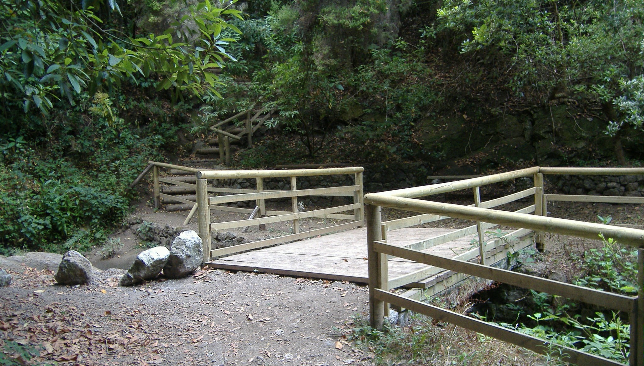
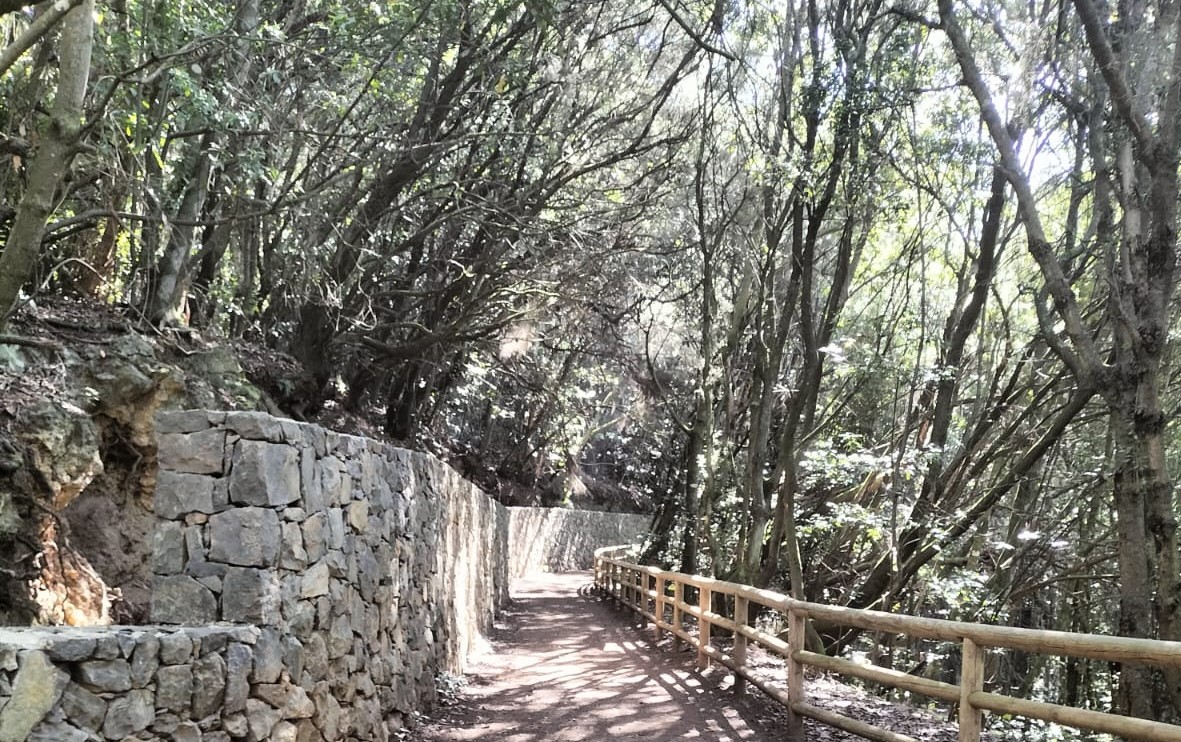
It is a circular trail of 1 km that starts at the Agua García Heritage Information Centre and follows the course of the Toledo and Salto Blanco ravines, crossing two wooden bridges on the way. 

After a walk through a forest brimming with local flora and fauna, the trail ends at the same point where it started.

Tips

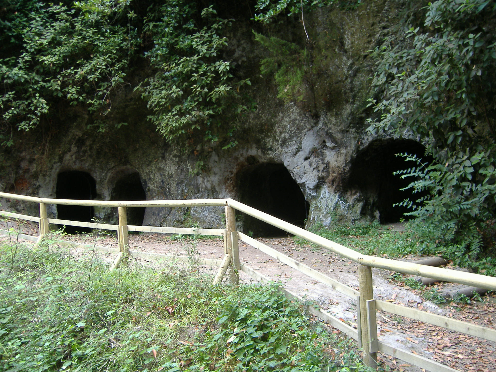
  • Always stay on the marked trail and do not enter private property, hunting grounds, water galleries, wells or caves. 
  • Pay special attention when crossing or walking along trails used by bicycles, horses or motor vehicles and when walking in ravines with water courses.
  • Avoid direct encounters with potentially dangerous animals, such as livestock, beehives, and dogs.
  • Proceed with caution and watch for obstacles, loose rocks, uneven terrain or steep slopes to avoid accidents and falls.
  • Check out our guide to hiking in Tenerife and, if necessary, contact the emergency services by calling 112.
Recommendations and tips

Permits

  • [TEMPORARY MEASURE] Free access without authorisation or reservation for natural or legal entities of a public or private nature, both non-profit (town councils, schools, associations, clubs, etc.) and for-profit (active tourism companies), until 31 December 2024 as established in the Resolution.
  • Free access for all other visitors, no reservation required.
  • Email for enquiries - This email address is being protected from spambots. You need JavaScript enabled to view it.
More information

Technical information sheet

Route information

Walking route

Tenerife ON

Circular

1,02 km

0 h 20 m

79,57 m

79,57 m

With fitness level 3/5

  • Altitude gain:79,57 m

  • Altitude loss:79,57 m

  • Maximum altitude:872,17 m

  • Minimum altitude:814,30 m

Signage

Panels with the name, information and map of the route.

Signage

Route map and profile

Elevation profile

Difficulty

Low *MIDE safe mountain criteria

  • Maximum altitude:872,17 m

  • Minimum altitude:814,30 m

Connections with other routes

How to get to route start point

Heritage Information Centre at Agua García, Calle Candelaria Monte.

Bus number 54, Agua García bus stop code 1614. TITSA

Parking spaces available in the area.

How to get to route end point

Heritage Information Centre at Agua García, Calle Candelaria Monte.

Bus number 54, Agua García bus stop code 1614. TITSA

Parking spaces available in the area.

Municipalities passed through

  • Tacoronte

Protected Areas

Transit

Paisaje Protegido de Las Lagunetas

The Las Lagunetas Protected Landscape is situated on the north side of the Pedro Gil ridge, in the north-east of Tenerife.  This ridge was formed over the course of numerous phases of eruption less ...

Discover the Protected Area
Paisaje Protegido de Las Lagunetas

Weather

Today, saturday, in Tacoronte


Clear skies
Wind

4 km/h

Temperature

23ºC Maximum

20ºC Minimum

Rain

0%

3 day forecast

sunday

21ºC Maximum

20ºC Minimum

monday

21ºC Maximum

20ºC Minimum

tuesday

21ºC Maximum

19ºC Minimum

Places of interest

These are some of the points of interest you can find along this route.

Vinatigos_Centenarios
Monumental tree

Centennial Viñatigos

Two specimens of viñatigo (Persea indica) surrounded by suckers in the form of a cage....