ePrivacy and GPDR Cookie Consent management by TermsFeed Privacy Policy and Consent Generator PNT 41 Barranco de Erques

PNT 41 Barranco de Erques

PNT-41

Teide National Park

Barranco de Erques

Difficulty: Medium

Description

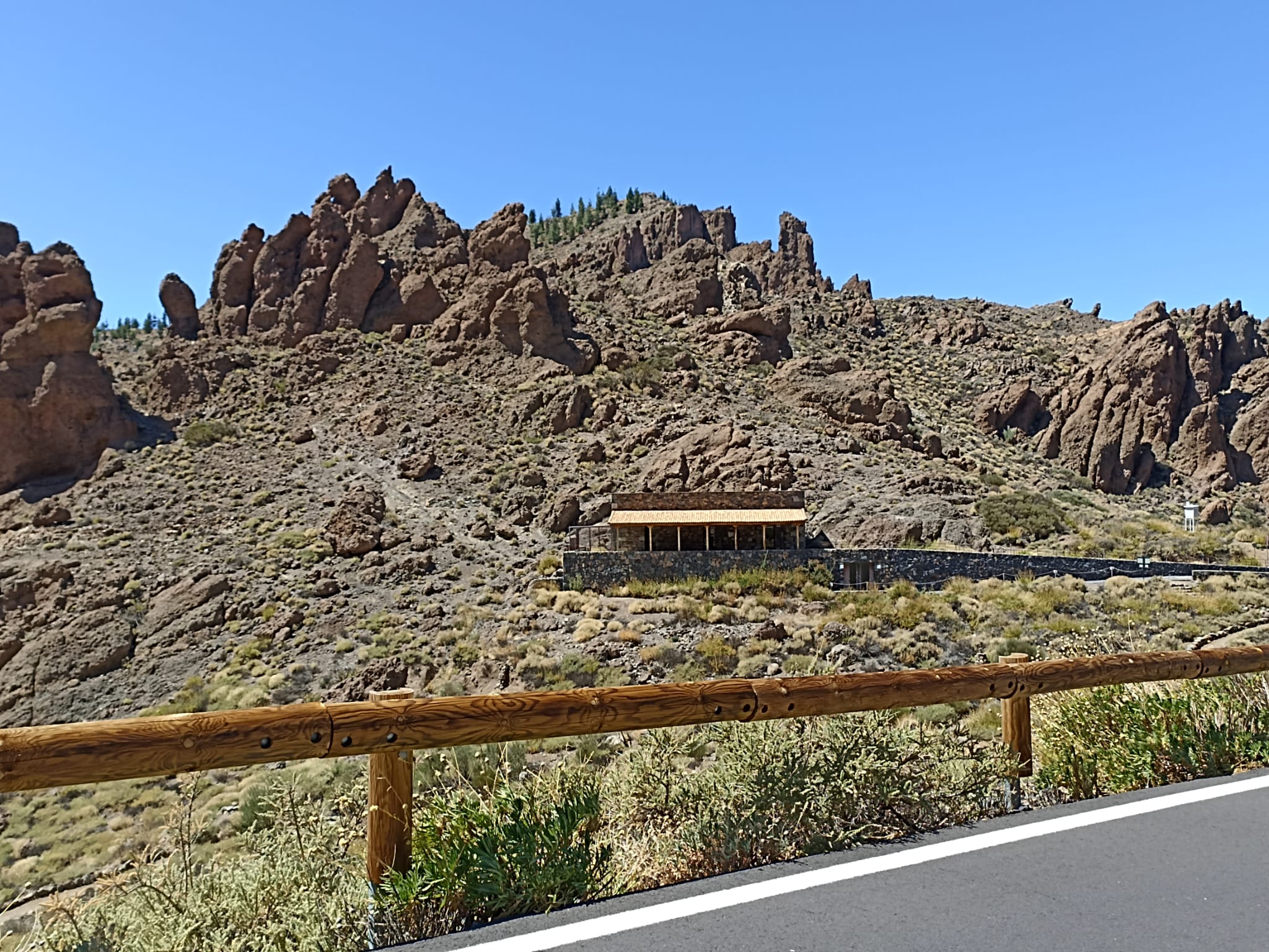
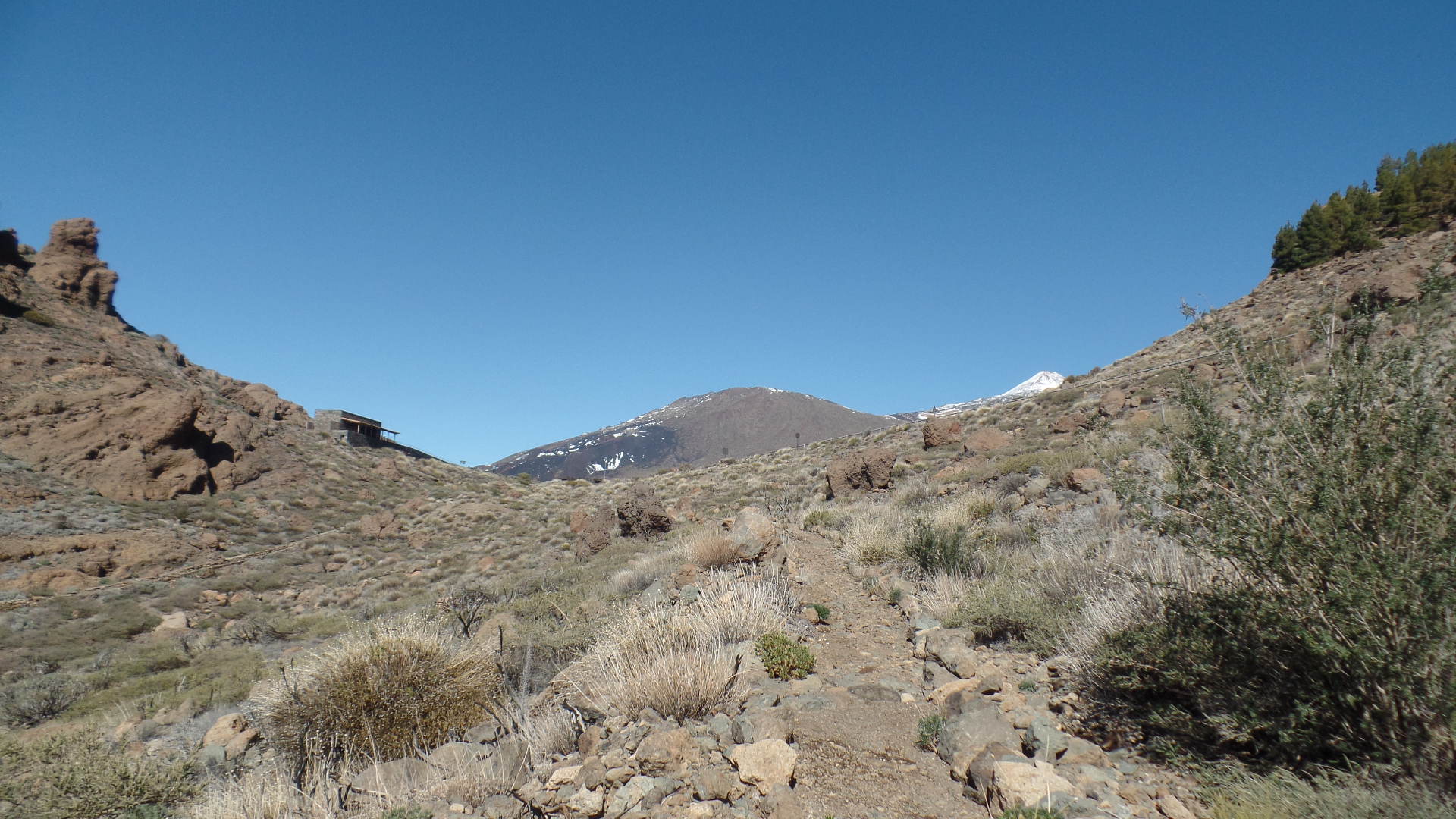
This short trail heads down from the head of the Erques ravine towards the south-west of the island. 

As this is a fairly steep trail, we recommend you avoid it during the rainy season.

Tips

  • Always stay on the marked trail and do not enter private property, hunting grounds, water galleries, wells or caves. 
  • Pay special attention when crossing or walking along trails used by bicycles, horses or motor vehicles and when walking in ravines with water courses.
  • Avoid direct encounters with potentially dangerous animals, such as livestock, beehives, and dogs. 
  • Proceed with caution and watch for obstacles, loose rocks, uneven terrain or steep slopes to avoid accidents and falls. 
  • Check out our guide to hiking in Tenerife and, if necessary, contact the emergency services by calling 112.


Recommendations and tips

Permits

Free access for all visitors, no reservation required.

More information

Technical information sheet

Route information

Walking route

Tenerife ON

Linear

1,00 km

0 h 45 m

12,72 m

145,18 m

One way with fitness level 3/5

  • Altitude gain:12,72 m

  • Altitude loss:145,18 m

  • Maximum altitude:2.048,41 m

  • Minimum altitude:1.909,95 m

Signage

Route code

PNT-41

Signposts and waymarkers with the code of the trail on dark green panels.

Signage

Route map and profile

Elevation profile

Difficulty

Medium *MIDE safe mountain criteria

  • Maximum altitude:2.048,41 m

  • Minimum altitude:1.909,95 m

Connections with other routes

No data available

How to get to route start point

Juan Évora Ethnographic Museum, Carretera de las Cañadas del Teide (TF-21), km 53.5.

No nearby service.

Very few parking spaces in a small car park.

How to get to route end point

Barranco de Erques.

End point only accessible on foot.

End point only accessible on foot.

Municipalities passed through

  • Adeje
  • Guía de Isora

Protected Areas

Transit

Parque Nacional del Teide

The Teide National Park is the best exampleof the high-mountain landscape of the Canary Islands.  It is a breathtaking setting where you can learn about some of the most spectacular volcanic ...

Discover the Protected Area
Parque Nacional del Teide

Transit

Parque Natural de la Corona Forestal

The Corona Forestal is the largest protected natural area in the Canary Islands, one of the most extensive forests on the islands, the lungs of Tenerife and the gateway to Mount Teide.  As its name ...

Discover the Protected Area
Parque Natural de Corona Forestal

Weather

Today, monday, in Adeje


Clouds
Wind

5 km/h

Temperature

20ºC Maximum

16ºC Minimum

Rain

0%

3 day forecast

tuesday

20ºC Maximum

16ºC Minimum

wednesday

21ºC Maximum

17ºC Minimum

thursday

21ºC Maximum

17ºC Minimum

Places of interest

These are some of the points of interest you can find along this route.

Museo_Juan_Evora
Museum

Juan Évora Visitor and Tourist Information Centre - Teide National Park

The house where Juan Évora, the last inhabitant of Las Cañadas del Teide, lived has been...