ePrivacy and GPDR Cookie Consent management by TermsFeed Privacy Policy and Consent Generator Finca los Pedregales Self-Guided Trail (Route 2)

Finca los Pedregales Self-Guided Trail (Route 2)

Macizo de Teno

SIA PRT 02 Itinerario autoguiado Finca los Pedregales

Difficulty: Low

Description

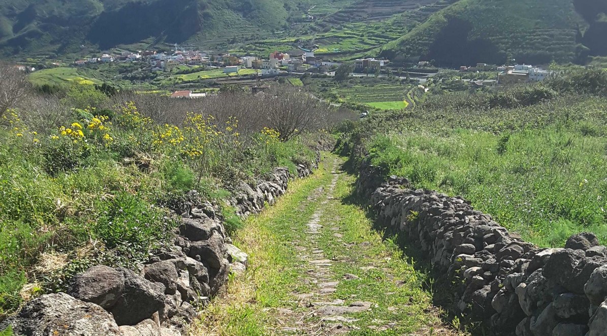
Route with audioguide. The last tenant farmer of Finca Los Pedregales takes you through its past and present. 

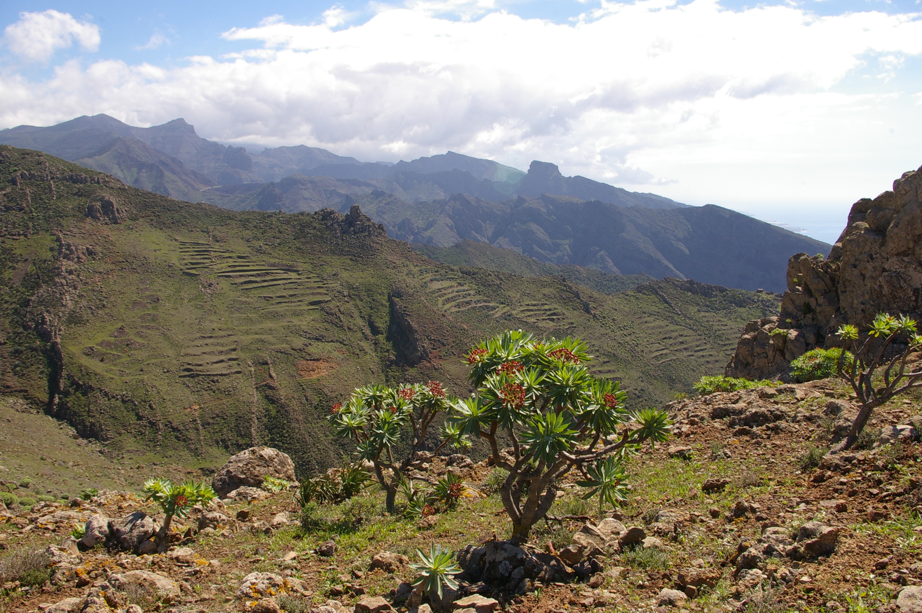
The main offices of the Teno Rural Park are located on this trail.

Tips

  • Always stay on the marked trail and do not enter private property, hunting grounds, water galleries, wells or caves.  
  • Pay special attention when crossing or walking along trails used by bicycles, horses or motor vehicles and when walking in ravines with water courses.
  • Avoid direct encounters with potentially dangerous animals, such as livestock, beehives, and dogs. 
  • Proceed with caution and watch for obstacles, loose rocks, uneven terrain or steep slopes to avoid accidents and falls. 
  • Check out our guide to hiking in Tenerife and, if necessary, contact the emergency services by calling 112.
Recommendations and tips

Permits

  • [TEMPORARY MEASURE] Free access without authorisation or reservation for natural or legal entities of a public or private nature, both non-profit (town councils, schools, associations, clubs, etc.) and for-profit (active tourism companies), until 31 December 2024 as established in the Resolution.
  • Free access for all other visitors, no reservation required.
  • Email for enquiries - This email address is being protected from spambots. You need JavaScript enabled to view it.
More information

Technical information sheet

Route information

Walking route

Tenerife ON

Circular

0,68 km

0 h 20 m

57,34 m

57,34 m

One way with fitness level 3/5

  • Altitude gain:57,34 m

  • Altitude loss:57,34 m

  • Maximum altitude:639,95 m

  • Minimum altitude:594,22 m

Signage

Panels with the name, information and map of the route.

Signage

Route map and profile

Elevation profile

Difficulty

Low *MIDE safe mountain criteria

  • Maximum altitude:639,95 m

  • Minimum altitude:594,22 m

Connections with other routes

How to get to route start point

Los Pedregales Recreational Area, Carretera a Teno Alto.

Bus numbers 355, 365 and 366 about 800 m from the trailhead, Los Llanitos bus stop code 4545. TITSA

Parking spaces in the recreational area.

How to get to route end point

Los Pedregales Recreational Area, Carretera a Teno Alto.

Bus numbers 355, 365 and 366 about 800 m from the trailhead, Los Llanitos bus stop code 4545. TITSA

Parking spaces in the recreational area.

Municipalities passed through

  • Buenavista del Norte

Protected Areas

Transit

Parque Rural de Teno

Teno Rural Park is located in north-west Tenerife, in one of the first parts of the island to emerge from the sea, containing materials that are between 6 and 7 million years old.  Erosion has ...

Discover the Protected Area
Parque Rural de Teno

Weather

Today, thursday, in Buenavista del Norte


Clouds
Wind

8 km/h

Temperature

20ºC Maximum

18ºC Minimum

Rain

0%

3 day forecast

friday

19ºC Maximum

17ºC Minimum

saturday

20ºC Maximum

17ºC Minimum

sunday

21ºC Maximum

19ºC Minimum