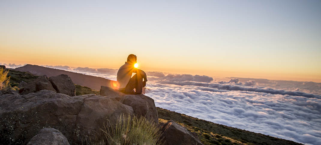
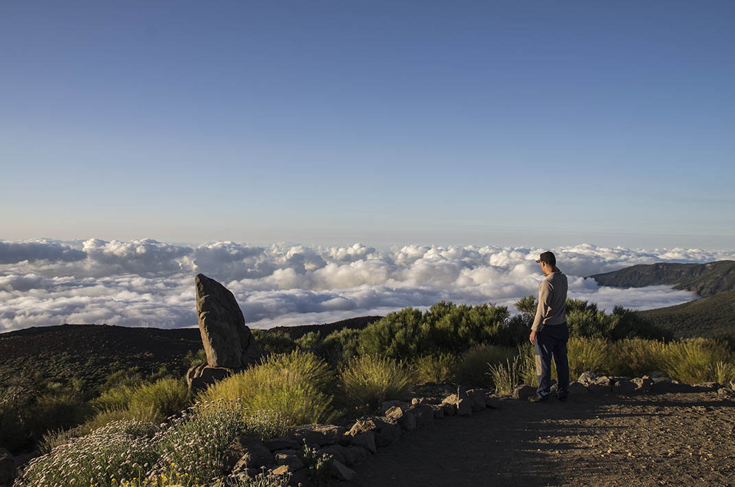
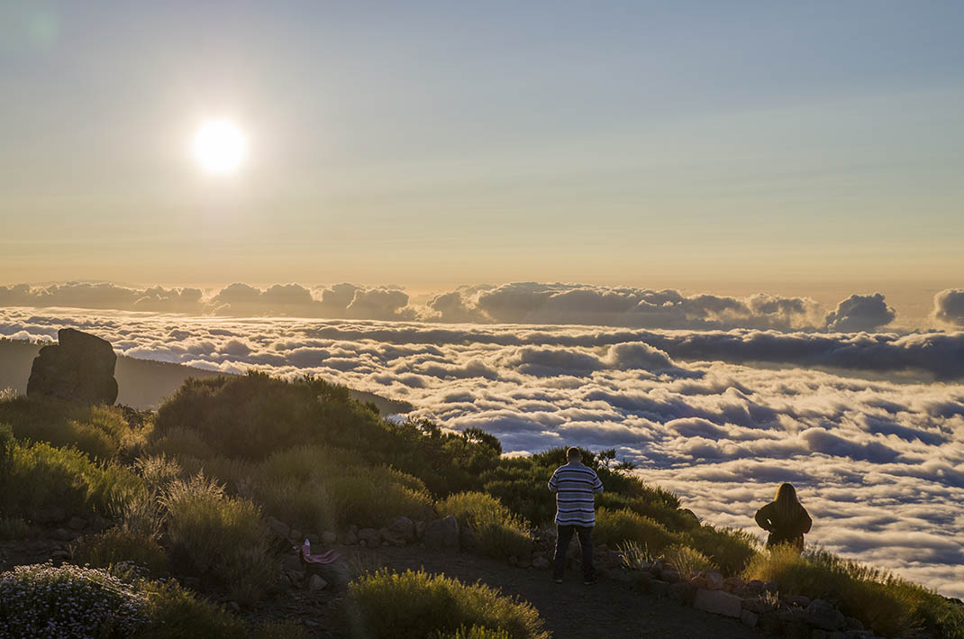
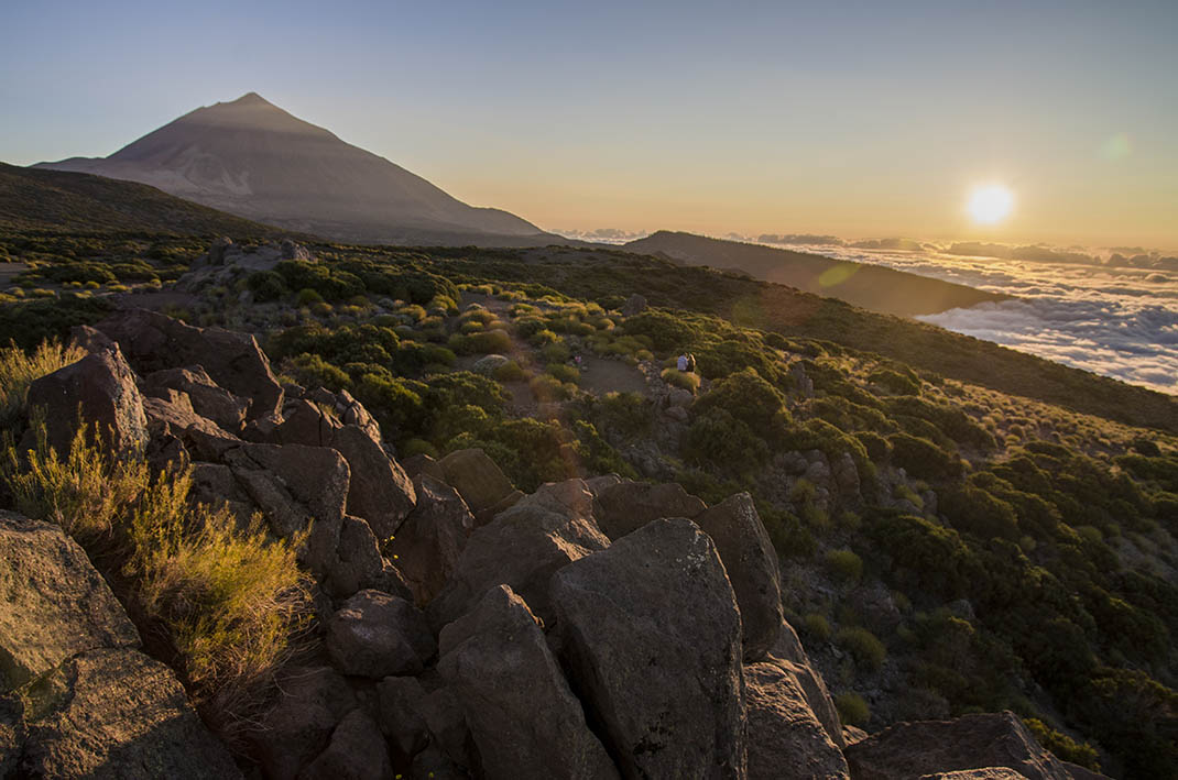
ePrivacy and GPDR Cookie Consent management by TermsFeed Privacy Policy and Consent Generator Caramujo Accessible Trail

Caramujo Accessible Trail

Teide National Park

Sendero accesible Caramujo

Difficulty: Low

Description

This accessible trail runs along a flat path from Roque del Caramujo viewpoint to the base of the Roque. 

It is 200 m long and has been adapted to make it accessible to all, with an average width of 1.5 m and a final turning space of 7 m in diameter. 

As a result, you can relax and enjoy the scenery at your own pace. Nearby you can also see the surviving remains of old herders’ huts.

Tips

  • Always stay on the marked trail and do not enter private property, hunting grounds, water galleries, wells or caves. 
  • Pay special attention when crossing or walking along trails used by bicycles, horses or motor vehicles and when walking in ravines with water courses.
  • Avoid direct encounters with potentially dangerous animals, such as livestock, beehives, and dogs.
  • Proceed with caution and watch for obstacles, loose rocks, uneven terrain or steep slopes to avoid accidents and falls.
  • Check out our guide to hiking in Tenerife and, if necessary, contact the emergency services by calling 112.


Recommendations and tips

Permits

Free access for all visitors, no reservation required.

More information

Technical information sheet

Route information

Walking route

Tenerife ON

Linear

0,20 km

0 h 5 m

5,29 m

3,24 m

One way with fitness level 3/5

  • Altitude gain:5,29 m

  • Altitude loss:3,24 m

  • Maximum altitude:2.218,59 m

  • Minimum altitude:2.214,86 m

Signage

Signposts and waymarkers with the code of the trail on dark green panels.

Signage

Route map and profile

Elevation profile

Difficulty

Low *MIDE safe mountain criteria

  • Maximum altitude:2.218,59 m

  • Minimum altitude:2.214,86 m

Connections with other routes

No data available

How to get to route start point

Roque del Caramujo Viewpoint, Carretera de La Esperanza, km 40.

No nearby service.

Parking spaces at the viewpoint.

How to get to route end point

Roque Caramujo

End point only accessible from the trail.

End point only accessible from the trail.

Municipalities passed through

  • La Orotava

Protected Areas

Transit

Parque Nacional del Teide

The Teide National Park is the best exampleof the high-mountain landscape of the Canary Islands.  It is a breathtaking setting where you can learn about some of the most spectacular volcanic ...

Discover the Protected Area
Parque Nacional del Teide

Transit

Parque Natural de la Corona Forestal

The Corona Forestal is the largest protected natural area in the Canary Islands, one of the most extensive forests on the islands, the lungs of Tenerife and the gateway to Mount Teide.  As its name ...

Discover the Protected Area
Parque Natural de Corona Forestal

Weather

Today, monday, in La Orotava


Clouds
Wind

3 km/h

Temperature

18ºC Maximum

14ºC Minimum

Rain

0%

3 day forecast

tuesday

19ºC Maximum

14ºC Minimum

wednesday

21ºC Maximum

16ºC Minimum

thursday

21ºC Maximum

16ºC Minimum