ePrivacy and GPDR Cookie Consent management by TermsFeed Privacy Policy and Consent Generator PR TF 43.4 La Montañeta spur trail

PR TF 43.4 La Montañeta spur trail

PR-TF 43.4

Altos de Garachico

PR TF 43.4 Derivación a La Montañeta
La Montaneta
La Montaneta

Difficulty: Low

Description

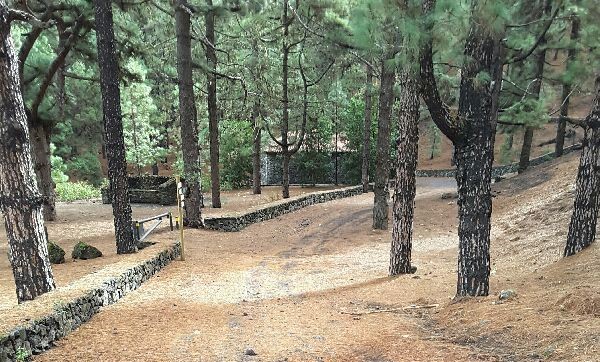
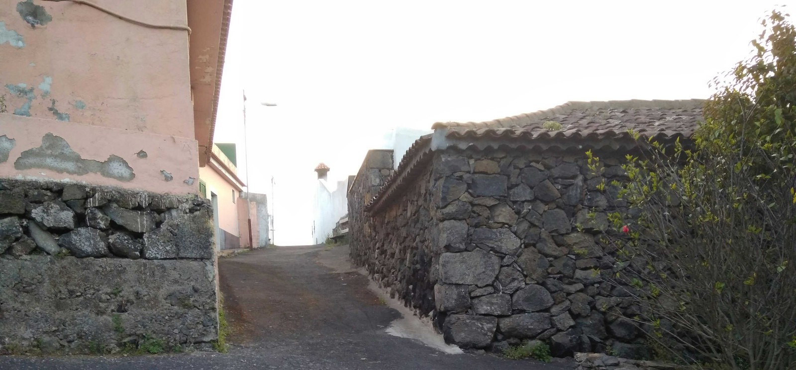
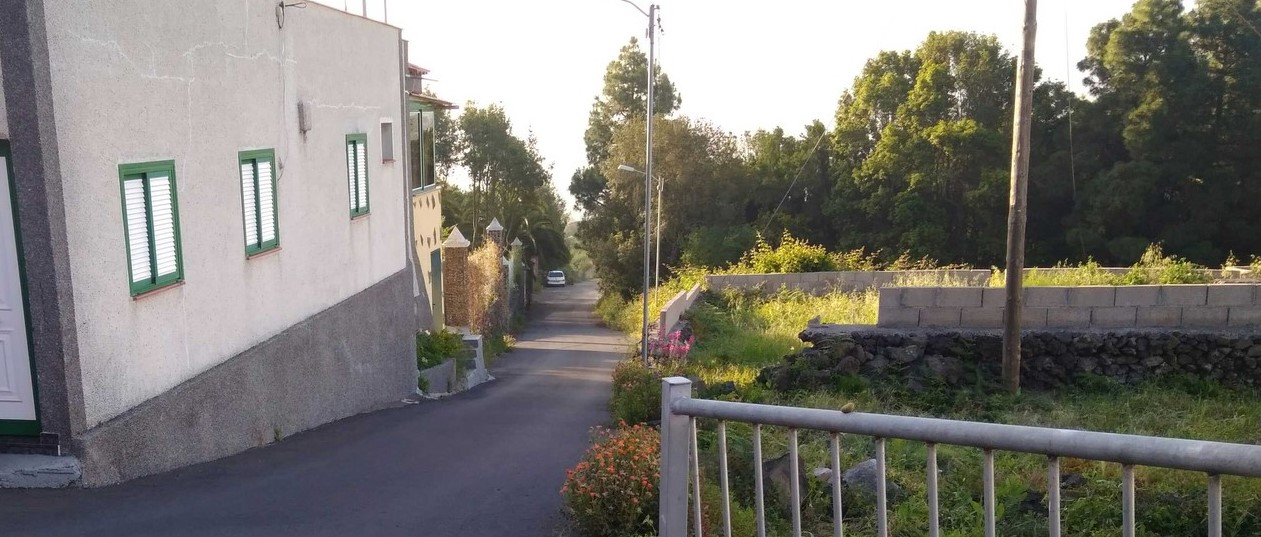
A short trail that branches off from the PR TF 43 (Garachico - Chinyero) that will allow you to visit the village of La Montañeta, within the municipality of Garachico. 

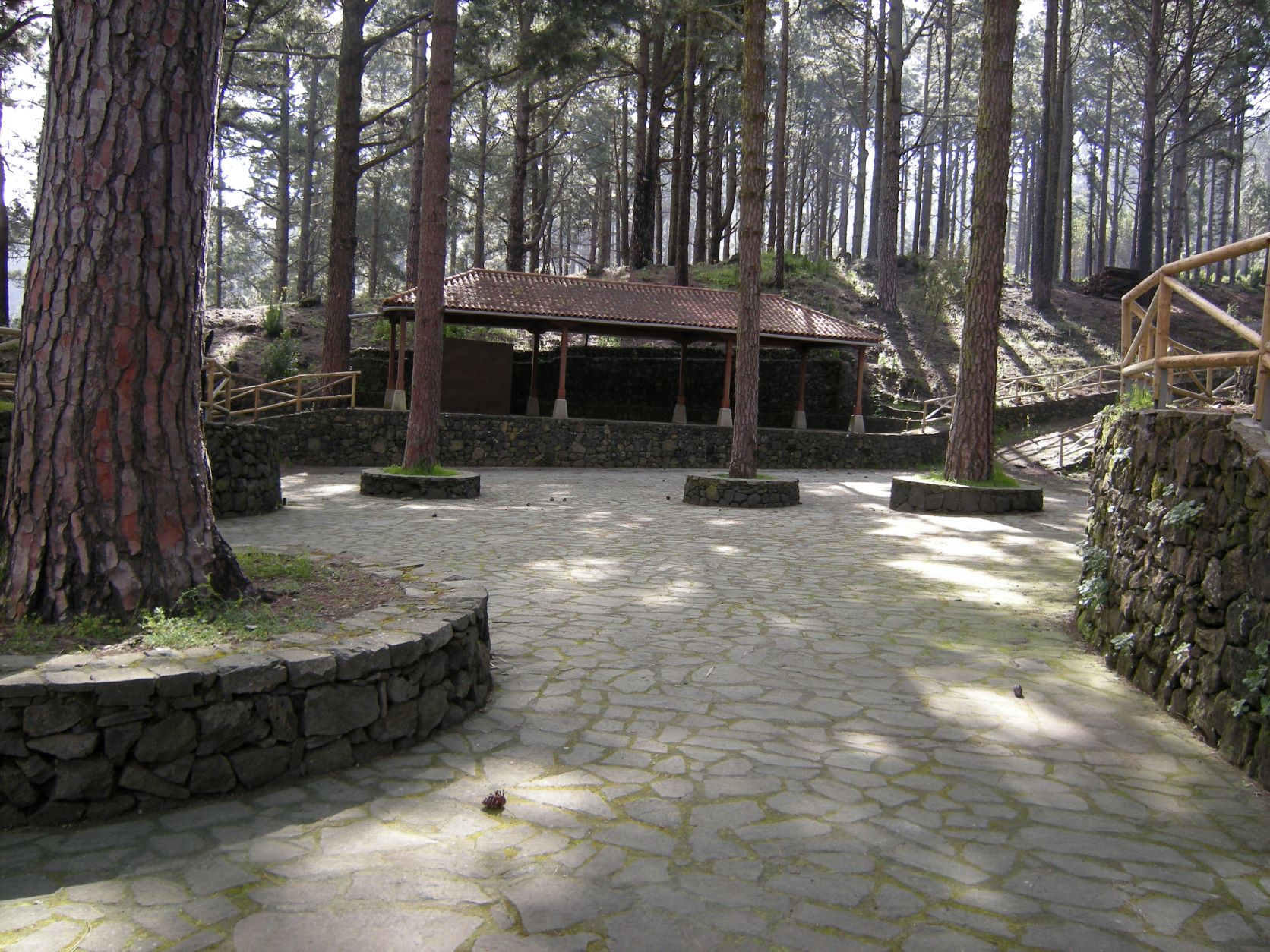
The San Francisco de Asís chapel in La Montañeta is a highlight, next to a small recreational park, along with the recently built wooden bridge that crosses the main road.

Tips

  • Always stay on the marked trail and do not enter private property, hunting grounds, water galleries, wells or caves. 
  • Pay special attention when crossing or walking along trails used by bicycles, horses or motor vehicles and when walking in ravines with water courses.
  • Avoid direct encounters with potentially dangerous animals, such as livestock, beehives, and dogs. 
  • Proceed with caution and watch for obstacles, loose rocks, uneven terrain or steep slopes to avoid accidents and falls.
  • Check out our guide to hiking in Tenerife and, if necessary, contact the emergency services by calling 112.


Recommendations and tips

Guides

No data available

Permits

  • [TEMPORARY MEASURE] Free access without authorisation or reservation for natural or legal entities of a public or private nature, both non-profit (town councils, schools, associations, clubs, etc.) and for-profit (active tourism companies), until 31 December 2024 as established in the Resolution.
  • Free access for all other visitors, no reservation required.
  • Email for enquiries - This email address is being protected from spambots. You need JavaScript enabled to view it.
More information

Technical information sheet

Route information

Walking route

Tenerife ON

Linear

0,67 km

0 h 25 m

4,18 m

54,16 m

One way with fitness level 3/5

  • Altitude gain:4,18 m

  • Altitude loss:54,16 m

  • Maximum altitude:972,78 m

  • Minimum altitude:921,58 m

Signage

Route code

PR-TF 43.4

Posts and signs displaying the PR code and yellow and white marks.

Signage

Route map and profile

Elevation profile

Difficulty

Low *MIDE safe mountain criteria

  • Maximum altitude:972,78 m

  • Minimum altitude:921,58 m

Connections with other routes

How to get to route start point

TF-373, km 8, Garachico.

Bus number 360, Colegio La Montañeta bus stop code 4594. TITSA

Parking spaces available in the town.

How to get to route end point

Calle al Sur - Las Rosas, Garachico.

Bus number 360, San Francisco bus stop code 4596. TITSA

Parking spaces available in the town.

Municipalities passed through

  • Garachico

Protected Areas

Transit

Parque Natural de la Corona Forestal

The Corona Forestal is the largest protected natural area in the Canary Islands, one of the most extensive forests on the islands, the lungs of Tenerife and the gateway to Mount Teide.  As its name ...

Discover the Protected Area
Parque Natural de Corona Forestal

Weather

Today, monday, in Garachico


Clear skies
Wind

4 km/h

Temperature

20ºC Maximum

16ºC Minimum

Rain

0%

3 day forecast

tuesday

21ºC Maximum

17ºC Minimum

wednesday

22ºC Maximum

18ºC Minimum

thursday

22ºC Maximum

19ºC Minimum

Places of interest

These are some of the points of interest you can find along this route.

Montaneta Ermita
Unique building

Chapel of St. Francis of Assisi

Small sanctuary built in the 20th century by State Forestry Workers with the help of the...

San Francisco de la Montaneta
Hamlet

San Francisco de la Montañeta

A hamlet located in the municipality of Garachico, of great natural interest, with a fine...