


Description
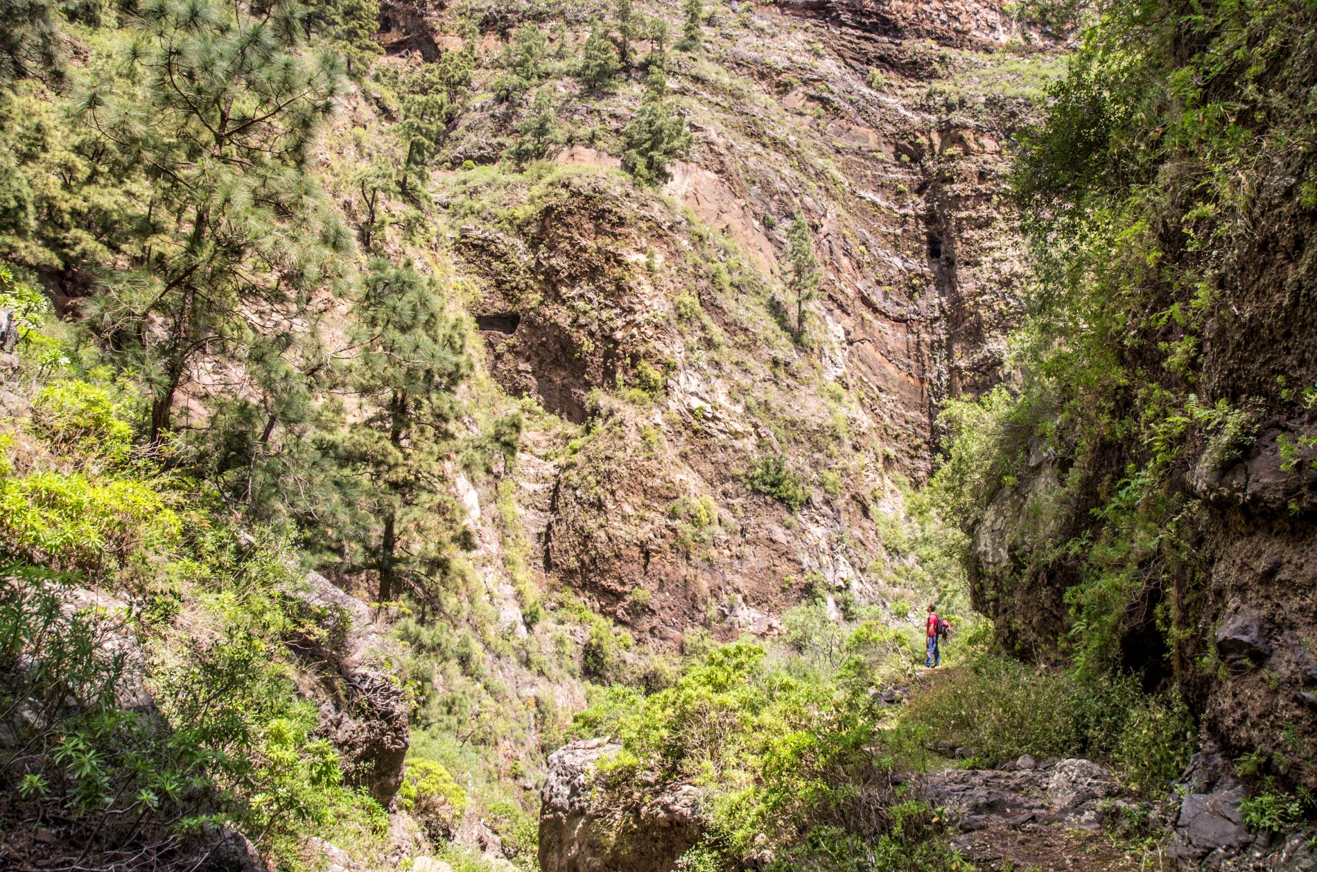
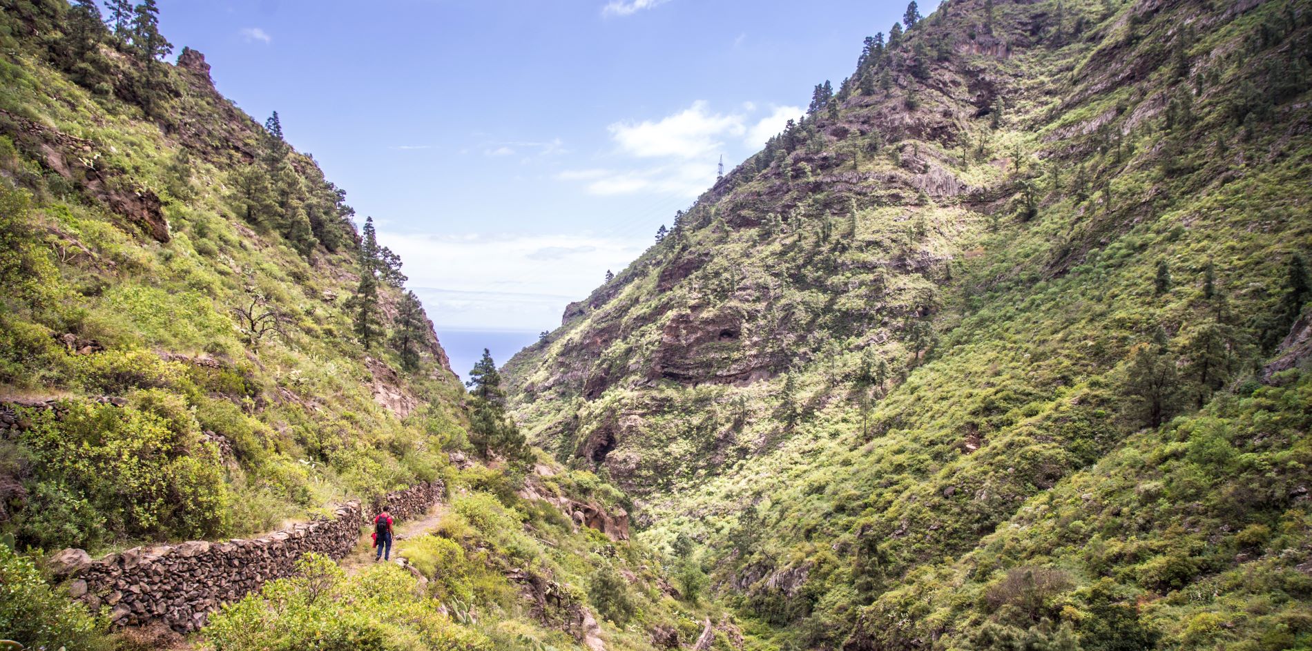
The trail that runs through the beautiful Barranco de Chacorche takes you into a place full of contrast, light and nature in its purest form.
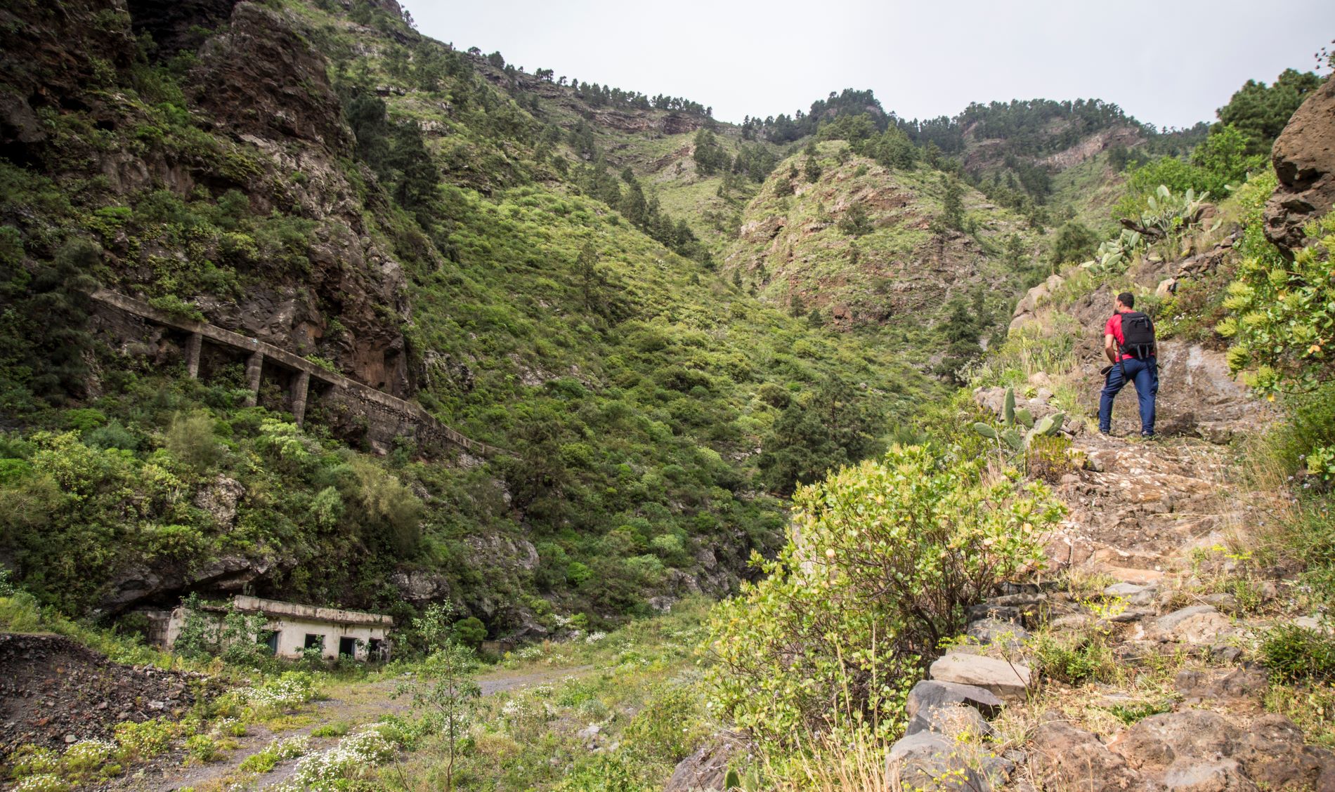
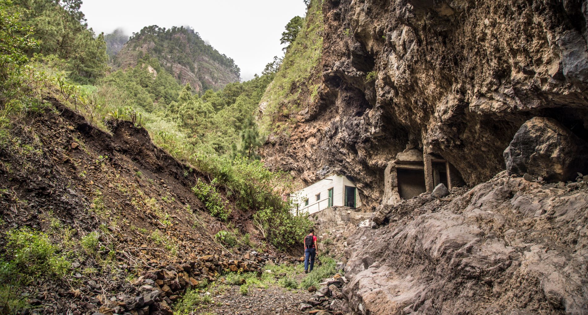
Water, a constant presence along the route, is the main reason for the steepness of the slopes and cliffs. It is also the reason for the well and four water galleries located in the ravine.
To reach the trail, head from Plaza de Ajoreña in Igueste de Candelaria towards Calle Los Revolcaderos. You will reach the first section of the trail running along a dirt track that leads to the Pozo de Chacorche or Jonchowell and a water channel called Canal de Araya.
Next, follow the signs towards the right-hand side of the ravine. At this point you will climb some striking stairs carved in the red tuff, a type of rock known locally as almagre.
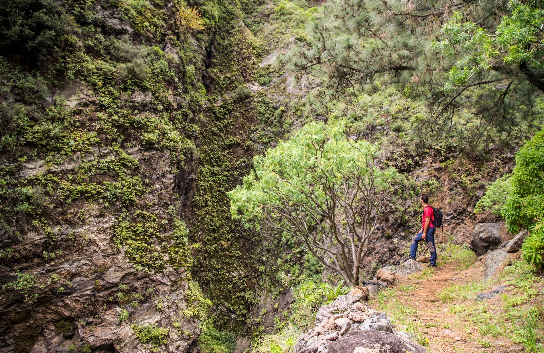
As for plant life, the beginning of the path is dominated by spurge (tabaiba), which grow taller as the ravine gets steeper, some of them reaching over four metres in height.
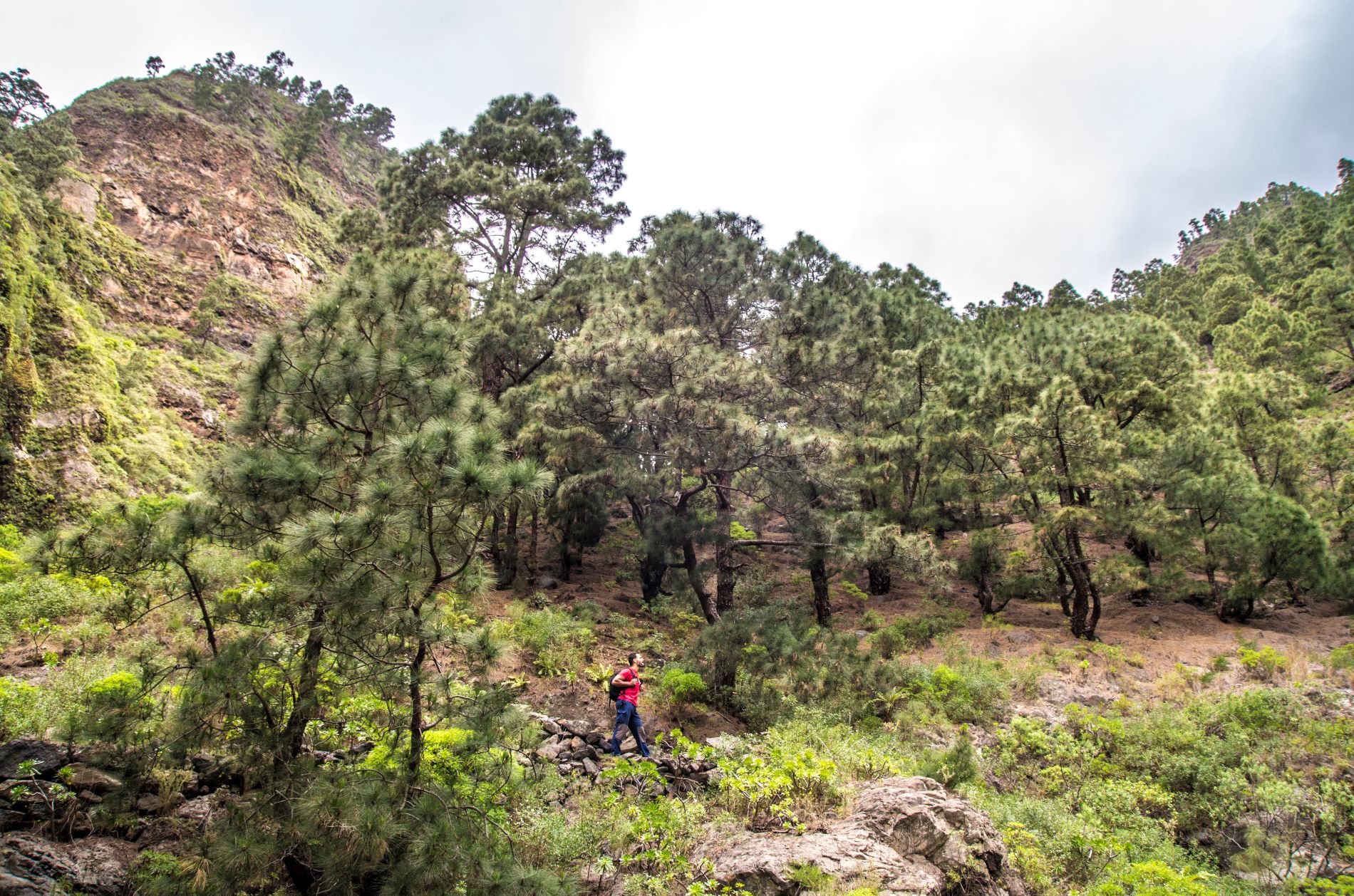
Once you have left the tallest specimens behind, you will enter the Corona Forestal Nature Reserve, a protected natural area dominated by Canary Island pines.
Shortly after, you will reach the end of the trail at the Galería de Chacorche, surrounded by beautiful Canary Island bellflowers (Canarinacanariensis), known locally as bicácaros, and flor de mayo (Pericalliscruenta).
Tips
- Always stay on the marked trail and do not enter private property, hunting grounds, water galleries, wells or caves.
- Pay special attention when crossing or walking along trails used by bicycles, horses or motor vehicles and when walking in ravines with water courses.
- Avoid direct encounters with potentially dangerous animals, such as livestock, beehives, and dogs.
- Proceed with caution and watch for obstacles, loose rocks, uneven terrain or steep slopes to avoid accidents and falls.
- Check out our guide to hiking in Tenerife and, if necessary, contact the emergency services by calling 112.
Guides
Barranco de Chacorche leaflet from the Candelaria Town Council.


