ePrivacy and GPDR Cookie Consent management by TermsFeed Privacy Policy and Consent Generator BC-3 Pinar de Chío

BC-3 Pinar de Chío

BC-3

North-east volcanic area, through the Chío pine forests.

Pinar de Chío
Pinar de Chío
Pinar de Chío
Pinar de Chío

Description

This route offers a visual feast as you immerse yourself among lava fields and Canary Island pines with an amazing capacity to adapt to their surroundings. 

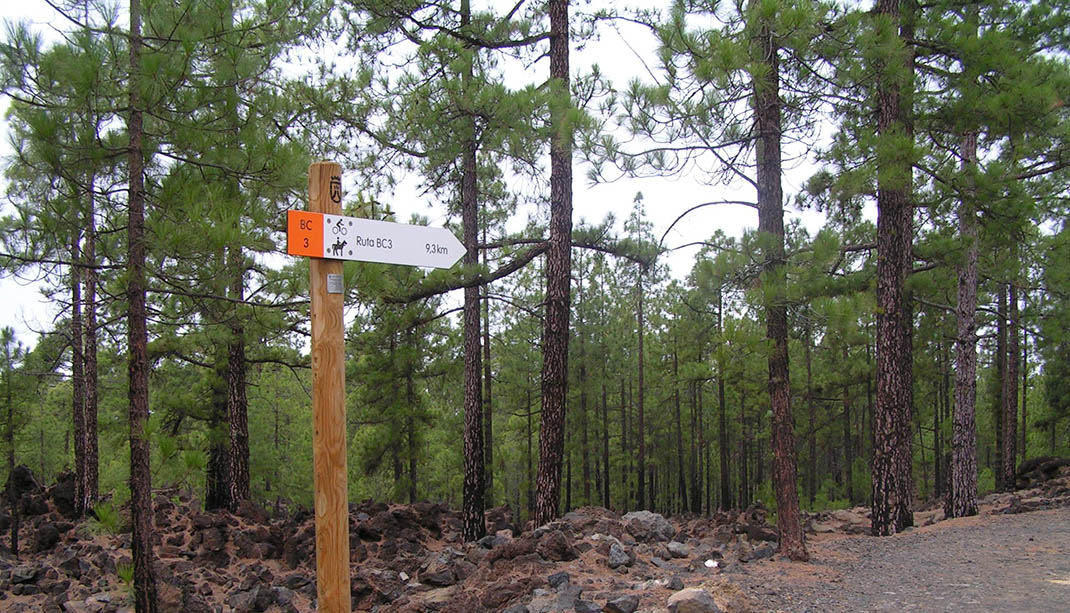
It runs along the forest trails of Fife and El Canal through the Chío pine forests and passes by the stunning lava flows at Bilma, Cangrejo, Cascajo and the Samara-Botija rift, volcanoes of inestimable geological value. 

A striking feature are the large pine trees, or “pinos padre”, dotting the route, survivors from the period of intense exploitation of timber and resin that almost destroyed the  island’s pine forests. Some still have huge gaps in their trunks, a vestige of the tests done in the past to see if they contained “tea” (wood with a high resin content), which could be used to produce pine tar.

At the sides of the trail you will see piles of pine needles that are used by locals as bedding for livestock. You will also hear the flow of the largest aqueduct on the island, the Canal de Vergara, which will accompany you until the end of the route at Guía de Isora.

IBP Index: 10.

Tips

  • Always stay on the marked trail and do not enter private property, hunting grounds, water galleries, wells or caves.  
  • Be careful when walking along roads used by motor vehicles and hiking trails, and when crossing ravines with water courses.
  • Avoid direct encounters with potentially dangerous animals, such as livestock, beehives, and dogs. 
  • Proceed with caution and watch for obstacles, loose rocks, uneven terrain or steep slopes to avoid accidents and falls. 
  • Consult our good practice guide and, if necessary, contact emergency services by calling 112.
Recommendations and tips

Guides

No data available

Permits

  • Reservation obligatory for groups organised by for-profit and not-for-profit public and private entities and profit-making individuals. Link
  • T: 901 501 901 - 922 239 500.
  • Free access for all other users, alone or in a group, no reservation required.

Technical information sheet

Route information

Cycling and horse riding route

Tenerife ON

Linear

9,33 km

0 h 40 m

305,54 m

352,94 m

At an average speed of 14 km/h

  • Altitude gain:305,54 m

  • Altitude loss:352,94 m

  • Maximum altitude:1.283,16 m

  • Minimum altitude:1.087,38 m

Signage

Route code

BC-3

Orange posts and signs that include:

  • Official trail number.
  • Route direction.
  • Distance to points of interest.
  • Cyclist and horserider icons.
Signage

Route map and profile

Elevation profile

  • Maximum altitude:1.283,16 m

  • Minimum altitude:1.087,38 m

Connections with other routes

How to get to route start point

Cueva de los Pájaros, Carretera Boca Tauce-Chío (TF-38), km 18.3, Guía de Isora.

No nearby service.

No parking spaces in the area.

How to get to route end point

La Fife, Carretera Boca Tauce-Chío (TF-38), km 19.2, Guía de Isora.

No nearby service.

No parking spaces in the area.

Municipalities passed through

  • Guía de Isora
  • Santiago del Teide

Protected Areas

Transit

Parque Natural de la Corona Forestal

The Corona Forestal is the largest protected natural area in the Canary Islands, one of the most extensive forests on the islands, the lungs of Tenerife and the gateway to Mount Teide.  As its name ...

Discover the Protected Area
Parque Natural de Corona Forestal

Weather

Today, monday, in Guía de Isora


Clouds
Wind

1 km/h

Temperature

16ºC Maximum

10ºC Minimum

Rain

0%

3 day forecast

tuesday

17ºC Maximum

11ºC Minimum

wednesday

18ºC Maximum

13ºC Minimum

thursday

19ºC Maximum

13ºC Minimum