ePrivacy and GPDR Cookie Consent management by TermsFeed Privacy Policy and Consent Generator VM 17.1 Spur trail to the Emilio Fernández Muñoz Nature Camp

VM 17.1 Spur trail to the Emilio Fernández Muñoz Nature Camp

VM-17.1

Description

Short 1.5-km section linking Forest Track VM 17 (Pista del P.K. 29 (Track at km 29), Pista de las Vistas de Sánchez, Pista Barranco de la Arena and Pista El Lagar) with the Emilio Fernández Muñoz Nature Activities Centre (CANEFM).

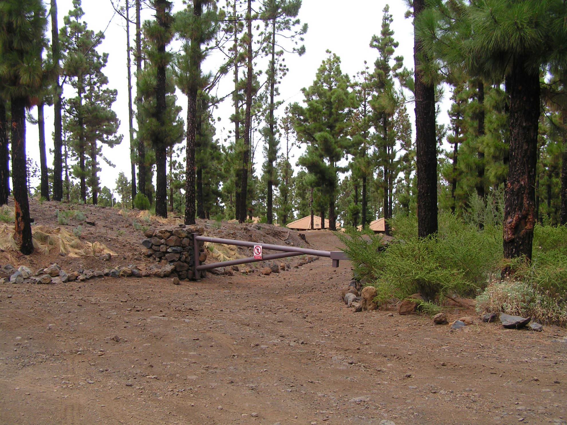
This section, which runs mainly through pine forests, branches off from the main track at the place known as “Piedra de los Pastores” (“Herders’ Rock”), at around km 4.5, and takes Pista Tomás El Guarda.

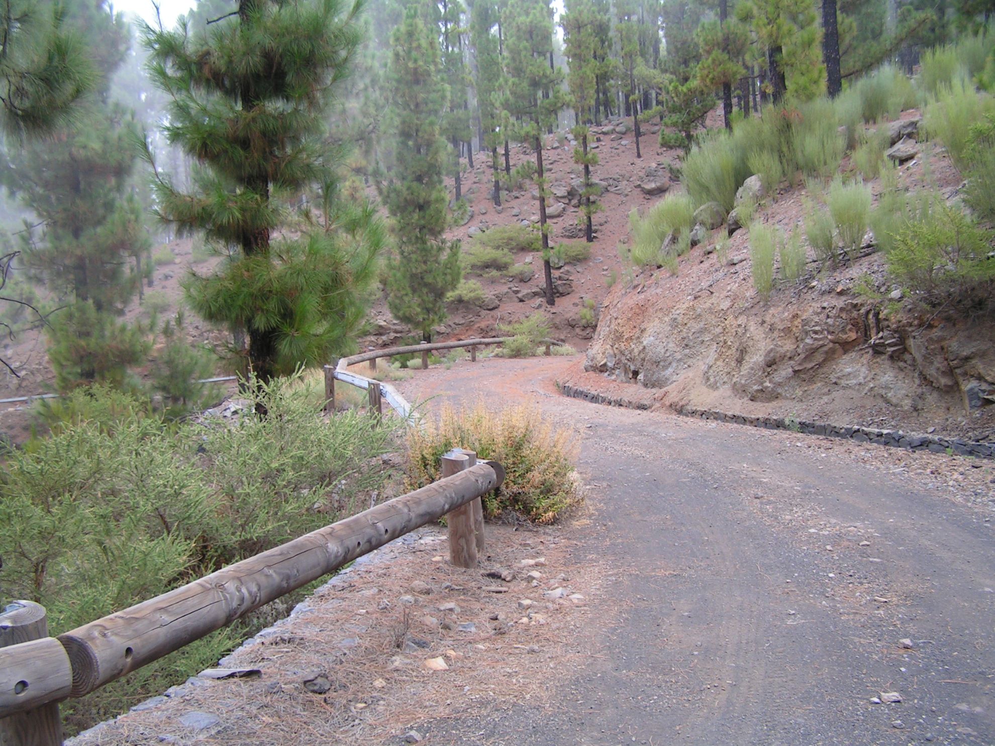
Along the way you will be rewarded with spectacular views of Mt Teide from the heights of Realejo Bajo before arriving at the camp.

Tips

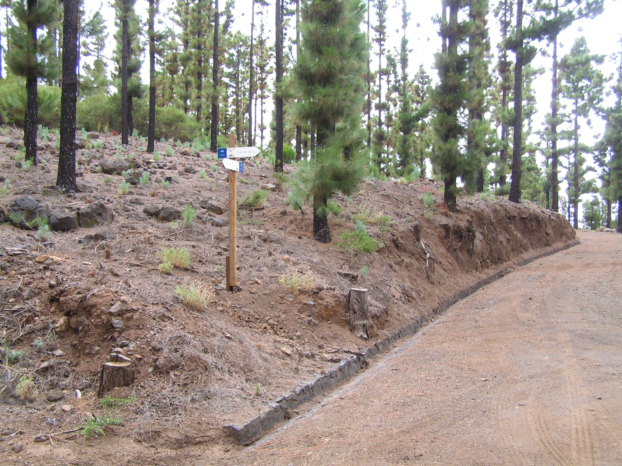
  • Always stay on the marked trail observing all traffic rules established in the regulations. 
  • When parking, keep away from water intakes or firefighting water storage tanks, and do not block the passage of other vehicles or access to the track.
  • Be extra careful both at junctions with paths and tracks and on sections shared by walkers, horse riders and cyclists. 
  • Proceed with care to avoid accidents that may be caused by obstacles, landslides and uneven terrain. 
  • Check our guide to motor vehicle routes and, if necessary, contact the emergency services by calling 112.
Recommendations and tips

Guides

No data available

Permits

Prior authorisation through the Reservation Centre of the Tenerife Island Council is compulsory for the following vehicles:

  • Trials, enduro and motocross bikes.
  • ATVs and quads with a handlebar steering system.
  • Off-road vehicles with tyres of 10 to 15mm tread depth.
  • Power-assisted pedal cycles with a power output of more than 0.5 kW, to supplement the muscle power of the rider.
  • Caravan of up to six motor vehicles in motion with a maximum distance of 30 metres separating them.

Check the Regulations for information on prohibited vehicles.

No reservations are required for other vehicles, provided that they meet the recreational use requirements for this network of trails.

More information

Technical information sheet

Route information

Motor vehicle route

Tenerife ON

Linear

1,77 km

0 h 15 m

77,29 m

29,99 m

At an average speed of 15 km/h

  • Altitude gain:77,29 m

  • Altitude loss:29,99 m

  • Maximum altitude:1.664,06 m

  • Minimum altitude:1.594,77 m

Signage

Route code

VM-17.1

Tracks for motor vehicles are marked with blue signs and posts that include:

  • Direction.
  • Route number.
  • Distance to end point.
Signage

Route map and profile

Elevation profile

  • Maximum altitude:1.664,06 m

  • Minimum altitude:1.594,77 m

Connections with other routes

Municipalities passed through

  • Los Realejos

Weather

Today, monday, in Los Realejos


Clouds
Wind

3 km/h

Temperature

19ºC Maximum

14ºC Minimum

Rain

0%

3 day forecast

tuesday

20ºC Maximum

15ºC Minimum

wednesday

21ºC Maximum

17ºC Minimum

thursday

21ºC Maximum

17ºC Minimum