ePrivacy and GPDR Cookie Consent management by TermsFeed Privacy Policy and Consent Generator SL TF 904 Camino del Socorro - Punta de los Picos

SL TF 904 Camino del Socorro - Punta de los Picos

SL TF 904

Malpaís de Güímar

Difficulty: Low

Description

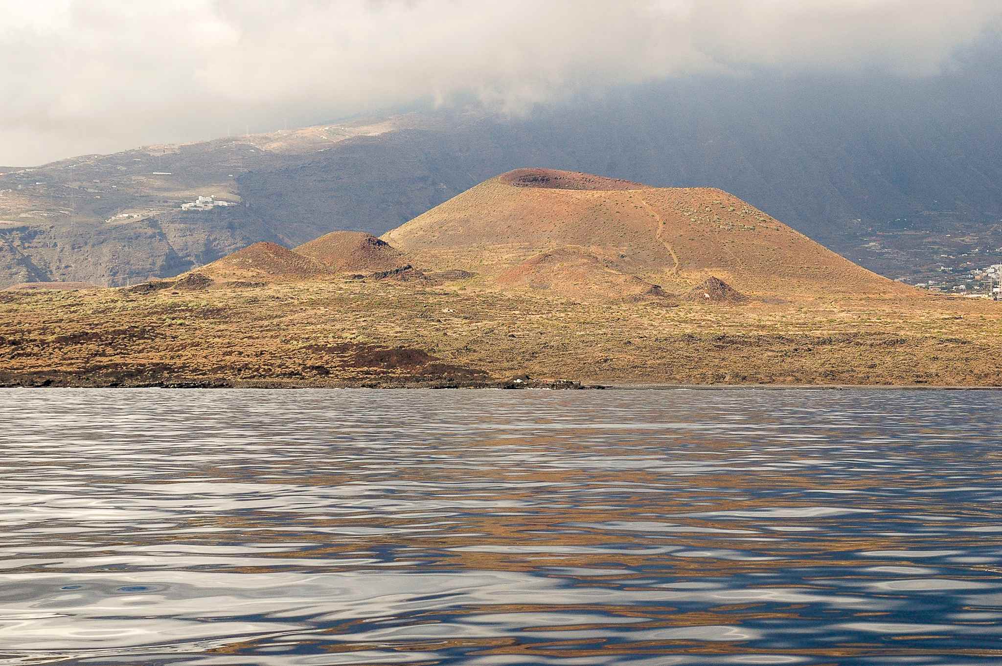
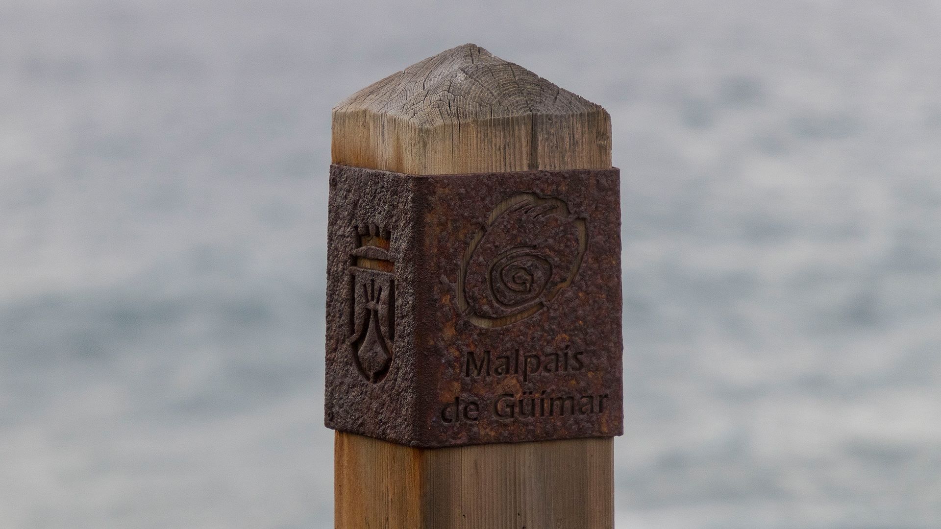
This route runs across the flatter area of Malpaís de Güímar and takes you on a journey back in time through one of the most unique landscapes on the coast of Tenerife.

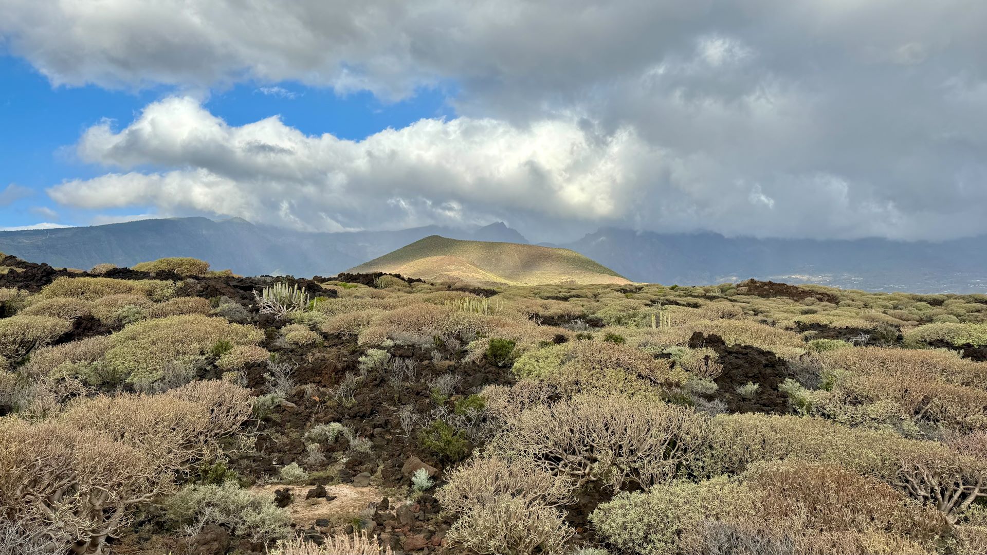
Along the way you will come across traces of human activity that stand in contrast to the southern sector of this volcanic landscape, which has remained practically untouched since the volcanic eruption that took place more than 10,000 years ago.

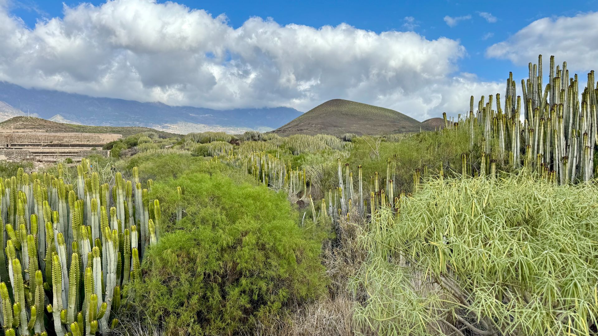
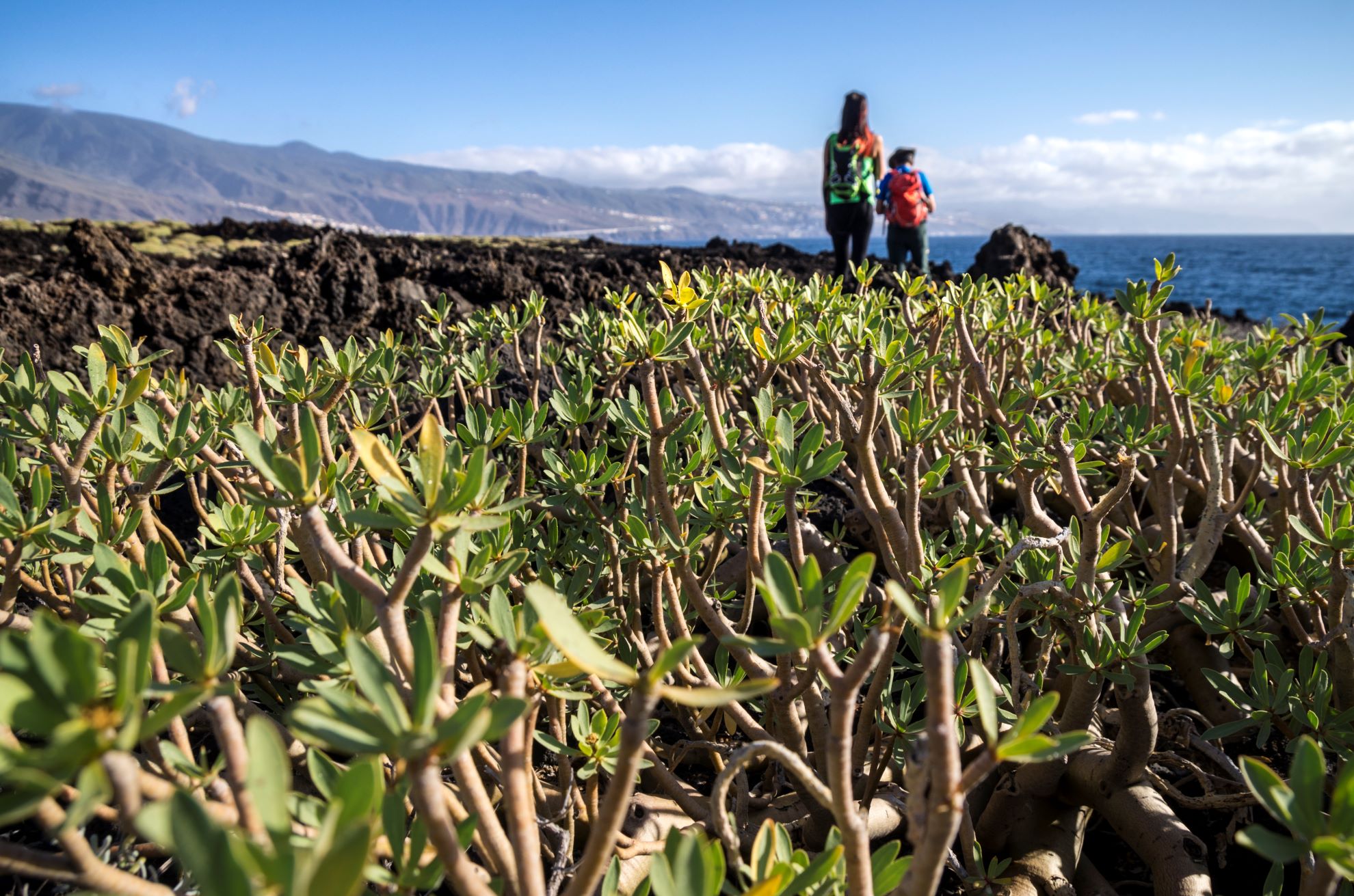
As you walk, you will also be able to see how the flora and fauna have adapted to this arid terrain, demonstrating the ecological value of this Special Nature Reserve.

The well signposted route departs from Camino del Socorro and leaves behind the industrial estate to enter the “malpaís” volcanic landscape and ends up connecting with Camino de la Mar at Punta Los Picos.

Tips

  • Always stay on the marked trail and do not enter private property, hunting grounds, water galleries, wells or caves.  
  • Pay special attention when crossing or walking along trails used by bicycles, horses or motor vehicles and when walking in ravines with water courses.
  • Avoid direct encounters with potentially dangerous animals, such as livestock, beehives, and dogs.
  • Proceed with caution and watch for obstacles, loose rocks, uneven terrain or steep slopes to avoid accidents and falls.
  • Check out our guide to hiking in Tenerife and, if necessary, contact the emergency services by calling 112.
Recommendations and tips

Guides

No data available

Permits

  • [TEMPORARY MEASURE] Free access without authorisation or reservation for natural or legal entities of a public or private nature, both non-profit (town councils, schools, associations, clubs, etc.) and for-profit (active tourism companies), until 31 December 2024 as established in the Resolution.
  • Free access for all other visitors, no reservation required.
  • Email for enquiries - This email address is being protected from spambots. You need JavaScript enabled to view it.
More information

Technical information sheet

Route information

Walking route

Check your fitness level

Tenerife ON

Linear

2,37 km

0 h 50 m *

  • Altitude gain:48,56 m

  • Altitude loss:79,77 m

  • Maximum altitude:74,26 m

  • Minimum altitude:13,58 m

Signage

Route code

SL TF 904

Wooden and metal signs with the logo of the Cabildo and the Malpaís de Güímar Special Nature Reserve with a range of information.

Signage

Route map and profile

Elevation profile

Difficulty

Low *MIDE safe mountain criteria

  • Maximum altitude:74,26 m

  • Minimum altitude:13,58 m

Connections with other routes

How to get to route start point

Camino del Socorro, at the rotonda de la “Avioneta” (roundabout with a light aircraft), Manzana 13, Polígono Industrial de Güímar.

Bus numbers 121 and 122, El Socorro bus stop code 8212. TITSA.

Parking spaces available in the industrial estate.

How to get to route end point

Camino de la Mar, at Punta de los Picos.

Accessible only on foot.

Accessible only on foot.

Municipalities passed through

  • Güímar

Protected Areas

Transit

Reserva Natural Especial del Malpaís de Güímar

The Malpaís de Güímar is one of the most popular spots in the south of Tenerife. Its volcanic cone stands out along the motorway linking the capital with the south of the island, and at its ...

Discover the Protected Area
Reserva Natural Especial del Malpaís de Güímar

Weather

Today, saturday, in Güímar


Clouds
Wind

17 km/h

Temperature

20ºC Maximum

18ºC Minimum

Rain

0%

3 day forecast

sunday

23ºC Maximum

18ºC Minimum

monday

23ºC Maximum

18ºC Minimum

tuesday

23ºC Maximum

19ºC Minimum