ePrivacy and GPDR Cookie Consent management by TermsFeed Privacy Policy and Consent Generator PR TF 70.6. PR TF 70.1 - PR TF 70.2 Spur trail

PR TF 70.6. PR TF 70.1 - PR TF 70.2 Spur trail

PR-TF 70.6

Comarca Chasna - Isora

Difficulty: Low

Description

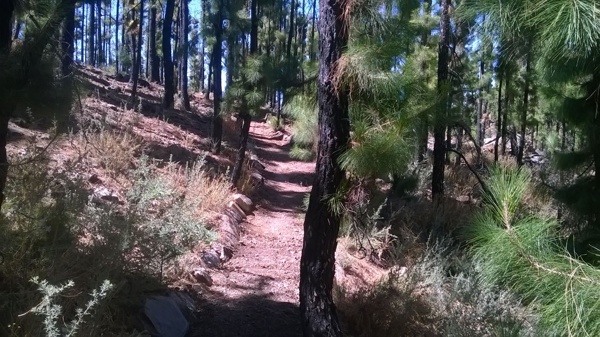
A short and easy walk of less than one kilometre that connects the PR TF 70.1 Boca Tauce – El Jaral and PR TF 70.2 Boca Tauce – Las Fuentes trails, passing through a typical pine forest in the south of Tenerife. This section is ideal for linking up routes in the network of trails in the area.

Tips

  • Always stay on the marked trail and do not enter private property, hunting grounds, water galleries, wells or caves.  
  • Pay special attention when crossing or walking along trails used by bicycles, horses or motor vehicles and when walking in ravines with water courses.
  • Avoid direct encounters with potentially dangerous animals, such as livestock, beehives, and dogs. 
  • Proceed with caution and watch for obstacles, loose rocks, uneven terrain or steep slopes to avoid accidents and falls.
  • Check out our guide to hiking in Tenerife and, if necessary, contact the emergency services by calling 112.
Recommendations and tips

Guides

No data available

Permits

  • [TEMPORARY MEASURE] Free access without authorisation or reservation for natural or legal entities of a public or private nature, both non-profit (town councils, schools, associations, clubs, etc.) and for-profit (active tourism companies), until 31 December 2026 as established in the Resolution.
  • Free access for all other visitors, no reservation required.
  • Email for enquiries - tenerifeon@gesplan.es
More information

Technical information sheet

Route information

Walking route

Check your fitness level

Tenerife ON

Linear

0,84 km

0 h 25 m *

  • Altitude gain:44,21 m

  • Altitude loss:64,35 m

  • Maximum altitude:1.875,34 m

  • Minimum altitude:1.832,36 m

Signage

Route code

PR-TF 70.6

Posts and signs displaying the PR code and yellow and white marks.

Signage

Route map and profile

Elevation profile

Difficulty

Low *MIDE safe mountain criteria

0.00.10.20.30.40.50.60.70.8km1,8001,8501,9001,9502,0002,050mAltitude
  • Maximum altitude:1.875,34 m

  • Minimum altitude:1.832,36 m

Leaflet Map data © OpenStreetMap contributors, Imagery © Mapbox

Connections with other routes

How to get to route start point

PR-TF-70.1 Boca Tauce – El Jaral, at Paso de Afoy.

Only accessible on foot.

Only accessible on foot.

How to get to route end point

PR TF 70.2 Boca Tauce – Las Fuentes, at Camino del Negro.

Only accessible on foot.

Only accessible on foot.

Municipalities passed through

  • Guía de Isora

Protected Areas

Transit

Parque Natural de la Corona Forestal

The Corona Forestal is the largest protected natural area in the Canary Islands, one of the most extensive forests on the islands, the lungs of Tenerife and the gateway to Mount Teide.  As its name ...

Discover the Protected Area
Parque Natural de Corona Forestal

Weather

Today, saturday, in Guía de Isora


Clear skies
Wind

12 km/h

Temperature

16ºC Maximum

13ºC Minimum

Rain

0%

3 day forecast

sunday

23ºC Maximum

16ºC Minimum

monday

23ºC Maximum

16ºC Minimum

tuesday

22ºC Maximum

15ºC Minimum