ePrivacy and GPDR Cookie Consent management by TermsFeed Privacy Policy and Consent Generator VM 2.1 Pista de Lomo Atravesado

VM 2.1 Pista de Lomo Atravesado

VM-2.1

Lomo Atravesado
Lomo Atravesado
Lomo Atravesado
Lomo Atravesado
Lomo Atravesado

Description

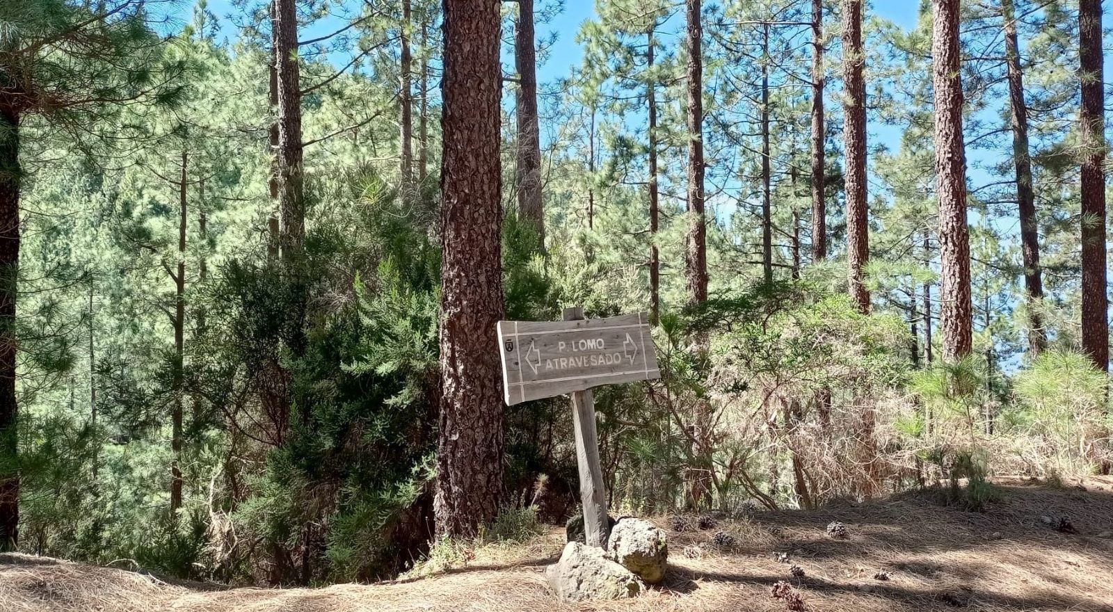
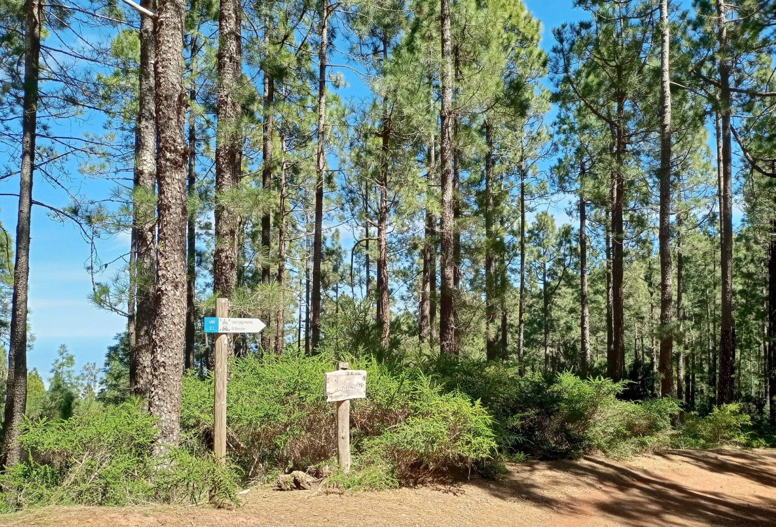
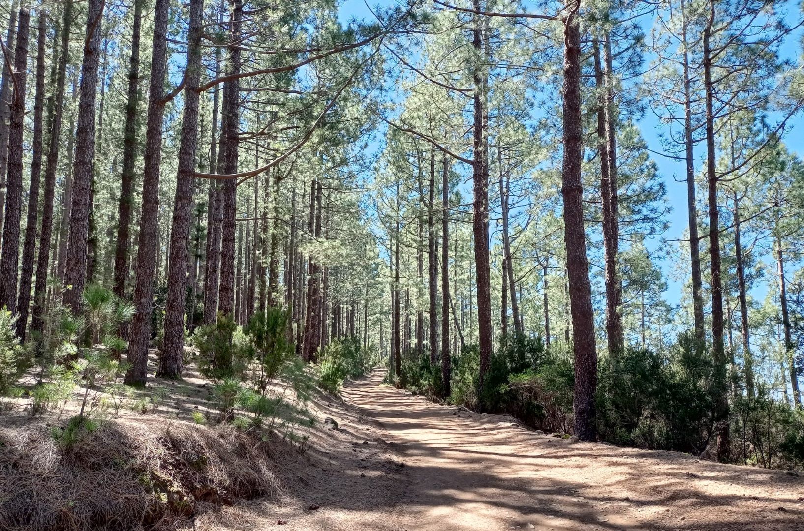
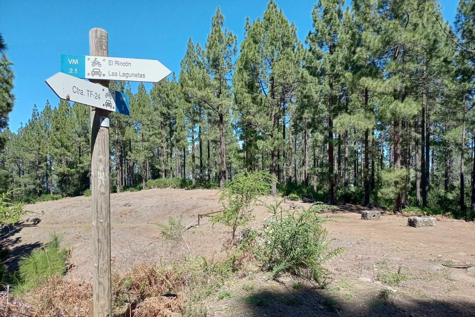
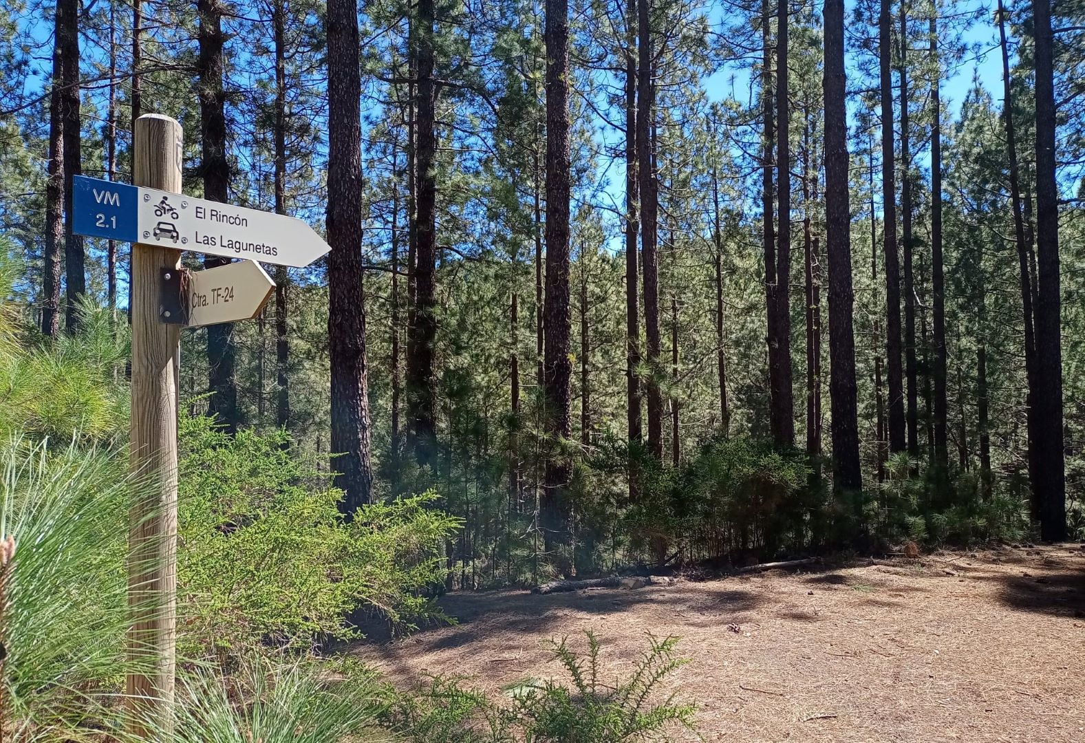
Branch of the Siete Fuentes track (VM-2) that runs through the Las Lagunetas Protected Landscape heading west in the direction of the Corona Forestal.

Take the turn-off to the left shortly after passing km 2 of the main track. In just 4.55 km of gentle ascent you will reach the end of this track, on the TF-24 La Laguna – El Portillo road.

The landscape you will find along the way is similar to that of the main track, as it is also within the Protected Landscape of Las Lagunetas, with its characteristic Canary Island pine forest, which was reforested in the 20th century.

Tips

  • Always stay on the marked trail observing all traffic rules established in the regulations. 
  • When parking, keep away from water intakes or firefighting water storage tanks, and do not block the passage of other vehicles or access to the track.
  • Be extra careful both at junctions with paths and tracks and on sections shared by walkers, horse riders and cyclists. 
  • Proceed with care to avoid accidents that may be caused by obstacles, landslides and uneven terrain. 
  • Check our guide to motor vehicle routes and, if necessary, contact the emergency services by calling 112.
Recommendations and tips

Guides

No data available

Permits

Prior authorisation through the Reservation Centre of the Tenerife Island Council is compulsory for the following vehicles:

  • Trials, enduro and motocross bikes.
  • ATVs and quads with a handlebar steering system.
  • Off-road vehicles with tyres of 10 to 15mm tread depth.
  • Power-assisted pedal cycles with a power output of more than 0.5 kW, to supplement the muscle power of the rider.
  • Caravan of up to six motor vehicles in motion with a maximum distance of 30 metres separating them.

Check the Regulations for information on prohibited vehicles.

No reservations are required for other vehicles, provided that they meet the recreational use requirements for this network of trails. 

More information

Technical information sheet

Route information

Motor vehicle route

Tenerife ON

Linear

4,55 km

0 h 30 m

290,50 m

52,25 m

At an average speed of 15 km/h.

  • Altitude gain:290,50 m

  • Altitude loss:52,25 m

  • Maximum altitude:1.679,30 m

  • Minimum altitude:1.441,05 m

Signage

Route code

VM-2.1

Tracks for motor vehicles are marked with blue signs and posts that include:

  • Direction.
  • Route number.
  • Distance to end point.
Signage

Route map and profile

Elevation profile

  • Maximum altitude:1.679,30 m

  • Minimum altitude:1.441,05 m

Connections with other routes

Municipalities passed through

  • La Victoria de Acentejo
  • Santa Úrsula

Protected Areas

Transit

Paisaje Protegido de Las Lagunetas

The Las Lagunetas Protected Landscape is situated on the north side of the Pedro Gil ridge, in the north-east of Tenerife.  This ridge was formed over the course of numerous phases of eruption less ...

Discover the Protected Area
Paisaje Protegido de Las Lagunetas

Weather

Today, friday, in La Victoria de Acentejo


Clouds
Wind

5 km/h

Temperature

20ºC Maximum

17ºC Minimum

Rain

0%

3 day forecast

saturday

19ºC Maximum

16ºC Minimum

sunday

19ºC Maximum

16ºC Minimum

monday

20ºC Maximum

16ºC Minimum