ePrivacy and GPDR Cookie Consent management by TermsFeed Privacy Policy and Consent Generator VM 20.1. Access to Arenas Negras car park

VM 20.1. Access to Arenas Negras car park

VM-20.1

Description

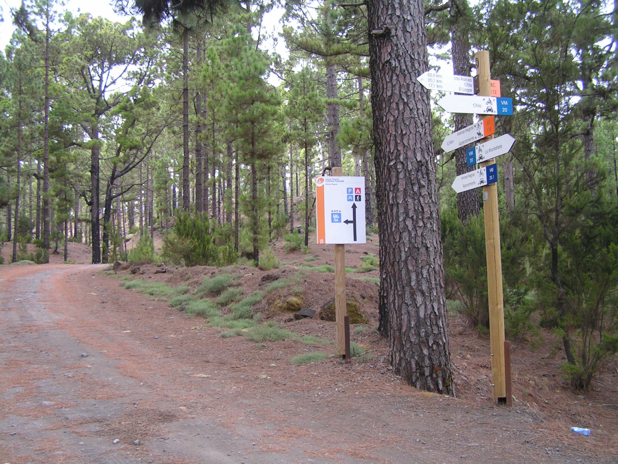
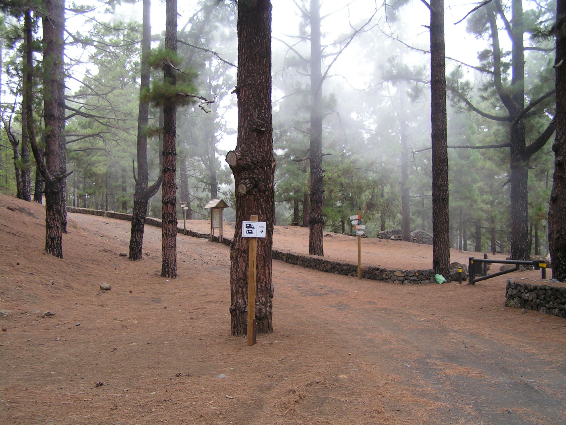
A short section of just over 500 metres that connects with the Arenas Negras Recreational Area car park to the west.

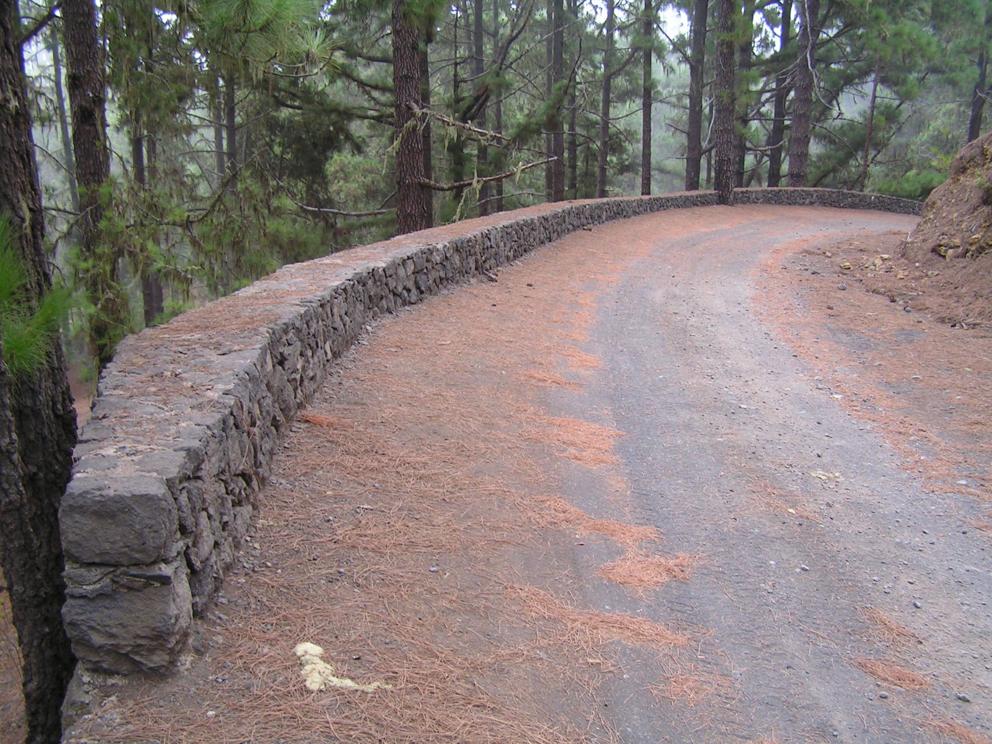
The track, which begins on the VM-20 Pista Arenas Negras and Pista Montaña Cascajo route, runs through a relatively recent volcanic landscape with beautiful pine forests typical of this type of terrain.

This short route also offers spectacular views of the Arenas Negras volcano with Mt Teide as a backdrop.

When driving on this route in a motor vehicle, remember to watch out for hikers, cyclists and horse riders, as this track coincides with the BC-1.12 Arenas Negras bicycle and horse route, and is also very popular with hikers.

Tips

  • Always stay on the marked trail observing all traffic rules established in the regulations. 
  • When parking, keep away from water intakes or firefighting water storage tanks, and do not block the passage of other vehicles or access to the track.
  • Be extra careful both at junctions with paths and tracks and on sections shared by walkers, horse riders and cyclists. 
  • Proceed with care to avoid accidents that may be caused by obstacles, landslides and uneven terrain. 
  • Check our guide to motor vehicle routes and, if necessary, contact the emergency services by calling 112.
Recommendations and tips

Guides

No data available

Permits

Prior authorisation through the Reservation Centre of the Tenerife Island Council is compulsory for the following vehicles:

  • Trials, enduro and motocross bikes.
  • ATVs and quads with a handlebar steering system.
  • Off-road vehicles with tyres of 10 to 15mm tread depth.
  • Power-assisted pedal cycles with a power output of more than 0.5 kW, to supplement the muscle power of the rider.
  • Caravan of up to six motor vehicles in motion with a maximum distance of 30 metres separating them.

Check the Regulations for information on prohibited vehicles.

No reservations are required for other vehicles, provided that they meet the recreational use requirements for this network of trails.

More information

Technical information sheet

Route information

Motor vehicle route

Tenerife ON

Linear

0,27 km

0 h 10 m

22,95 m

0,00 m

At an average speed of 15 km/h

  • Altitude gain:22,95 m

  • Altitude loss:0,00 m

  • Maximum altitude:1.228,65 m

  • Minimum altitude:1.205,70 m

Signage

Route code

VM-20.1

Tracks for motor vehicles are marked with blue signs and posts that include:

  • Direction.
  • Route number.
  • Distance to end point.
Signage

Route map and profile

Elevation profile

  • Maximum altitude:1.228,65 m

  • Minimum altitude:1.205,70 m

Connections with other routes

How to get to route end point

Arenas Negras Campsite car park.

Municipalities passed through

  • Garachico

Protected Areas

Transit

Parque Natural de la Corona Forestal

The Corona Forestal is the largest protected natural area in the Canary Islands, one of the most extensive forests on the islands, the lungs of Tenerife and the gateway to Mount Teide.  As its name ...

Discover the Protected Area
Parque Natural de Corona Forestal

Weather

Today, monday, in Garachico


Clear skies
Wind

4 km/h

Temperature

20ºC Maximum

16ºC Minimum

Rain

0%

3 day forecast

tuesday

21ºC Maximum

17ºC Minimum

wednesday

22ºC Maximum

18ºC Minimum

thursday

22ºC Maximum

19ºC Minimum