ePrivacy and GPDR Cookie Consent management by TermsFeed Privacy Policy and Consent Generator PNT 05 Degollada de Guajara

PNT 05 Degollada de Guajara

PNT-05

Nationalpark Teide

Degollada de Guajara

Difficulty: High

Description

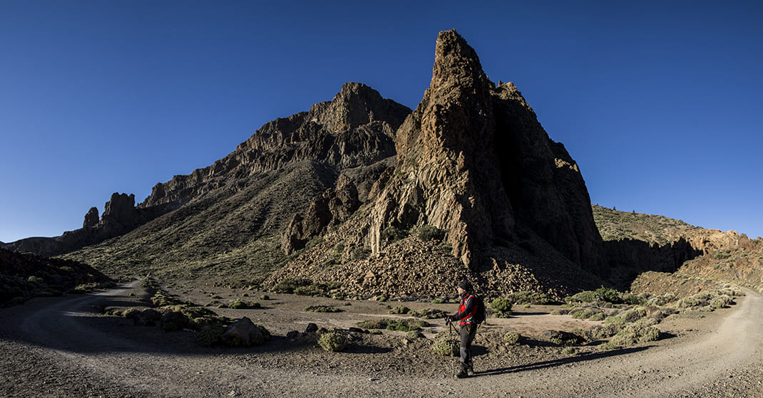
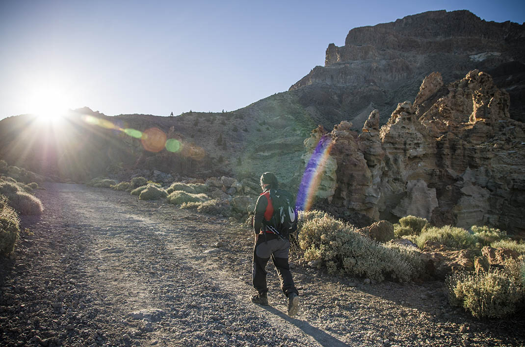
This is the only trail that takes you over the walls of the caldera and is part of the old Camino de Chasna, which used to link the two sides of the island. 

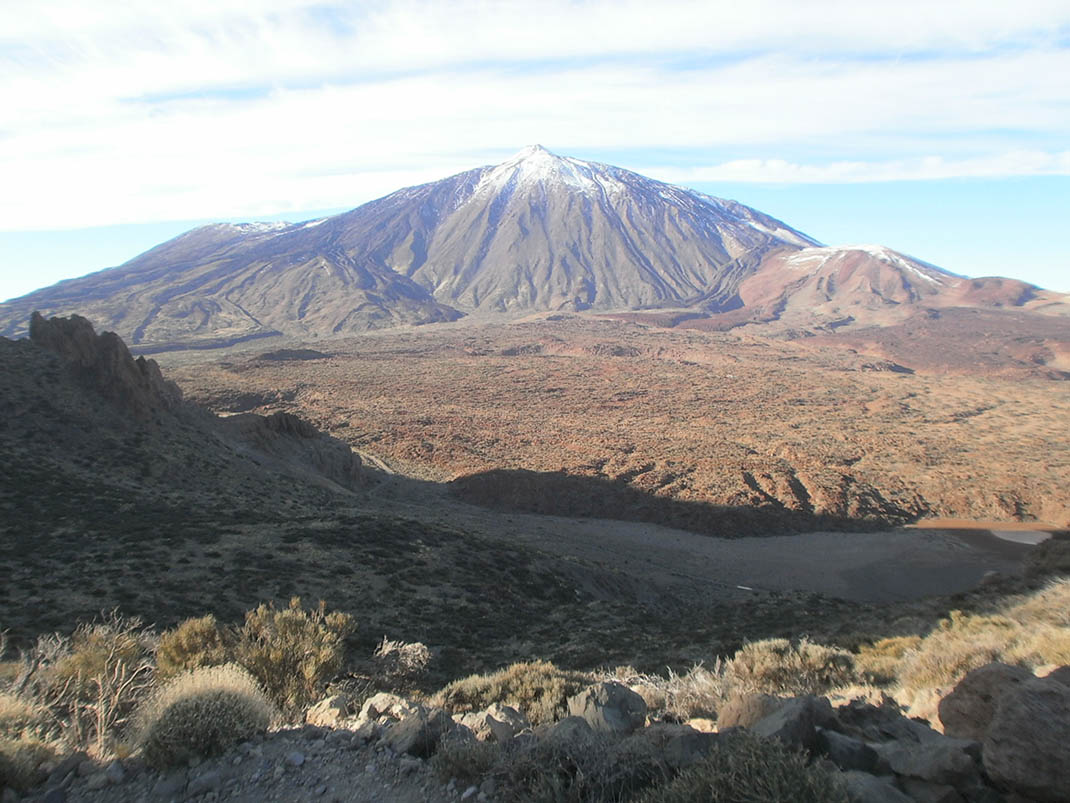
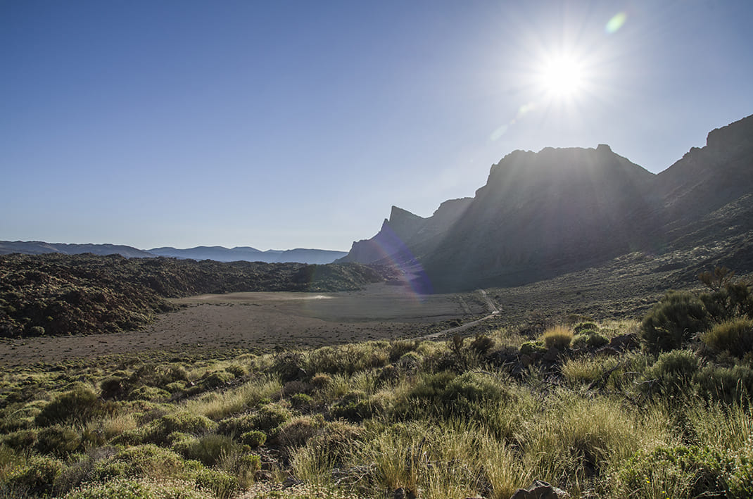
The trail ascends from La Cañada del Montón de Trigo to the pass between the mountains of Pasajirón and Guajara. The view from this point is spectacular, with wide panoramic views of the National Park and the southern slopes of Tenerife. A highlight is Barranco del Río; the head of this ravine is found in this mountain pass.

Tips

  • Always stay on the marked trail and do not enter private property, hunting grounds, water galleries, wells or caves.
  • Pay special attention when crossing or walking along trails used by bicycles, horses or motor vehicles and when walking in ravines with water courses.
  • Avoid direct encounters with potentially dangerous animals, such as livestock, beehives, and dogs. 
  • Proceed with caution and watch for obstacles, loose rocks, uneven terrain or steep slopes to avoid accidents and falls.
  • Check out our guide to hiking in Tenerife and, if necessary, contact the emergency services by calling 112.


Recommendations and tips

Permits

Free access for all visitors, no reservation required.

More information

Technical information sheet

Route information

Walking route

Tenerife ON

Linear

1,18 km

1 h 10 m

216,30 m

13,29 m

One way with fitness level 3/5

  • Altitude gain:216,30 m

  • Altitude loss:13,29 m

  • Maximum altitude:2.385,07 m

  • Minimum altitude:2.182,06 m

Signage

Route code

PNT-05

Signposts and waymarkers with the code of the trail on dark green panels.

Signage

Route map and profile

Elevation profile

Difficulty

High *MIDE safe mountain criteria

  • Maximum altitude:2.385,07 m

  • Minimum altitude:2.182,06 m

Connections with other routes

How to get to route start point

PNT 04 (Siete Cañadas)

Trailhead only accessible on foot from trails PNT 04 (Siete Cañadas), GR TF 131 (Anaga - Chasna) and PR TF 86 (Villa de Arico - Cumbre de Arico).

Trailhead only accessible on foot from trails PNT 04 (Siete Cañadas), GR TF 131 (Anaga - Chasna) and PR TF 86 (Villa de Arico - Cumbre de Arico). 

How to get to route end point

Degollada de Guajara

End point only accessible on foot from trails PNT 15 (Alto de Guajara), PNT 08 (El Filo), GR TF 131 (Anaga - Chasna) and PR TF 86 (Villa de Arico - Cumbre de Arico). 

End point only accessible on foot from trails PNT 15 (Alto de Guajara), PNT 08 (El Filo), GR TF 131 (Anaga - Chasna) and PR TF 86 (Villa de Arico - Cumbre de Arico). 

Municipalities passed through

  • La Orotava

Protected Areas

Transit

Parque Nacional del Teide

The Teide National Park is the best exampleof the high-mountain landscape of the Canary Islands.  It is a breathtaking setting where you can learn about some of the most spectacular volcanic ...

Discover the Protected Area
Parque Nacional del Teide

Weather

Today, friday, in La Orotava


Clouds
Wind

1 km/h

Temperature

20ºC Maximum

17ºC Minimum

Rain

65%

3 day forecast

saturday

20ºC Maximum

16ºC Minimum

sunday

20ºC Maximum

16ºC Minimum

monday

20ºC Maximum

15ºC Minimum